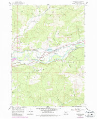
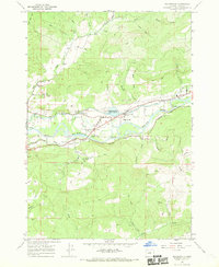
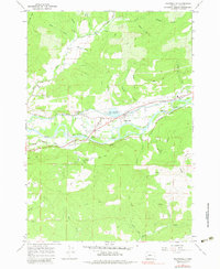
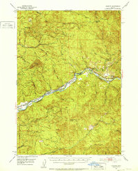
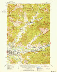
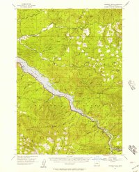
1967 Map of Walterville
USGS Topo · Published 1987About this map
The Mc Kenzie River dominates this mid-1960s landscape, where hydroelectric infrastructure and rural settlements intersect along the valley floor. The Walterville Canal diverts water through the terrain to the Walterville Powerplant, passing by the Walterville Res and its associated spillway and pump. Local civic life is anchored at Walterville and Cedar Flat, with the presence of both the Camp Creek Sch and Walterville Sch indicating a established community during this period of Lane County history.
Find a feature on this map
45 named features on this map. Tap any name to fly to it.
Don’t see what you’re looking for? This feature index may not catch every label — zoom into the map to look around manually.
Map Details
Editions of this 1967 Walterville Map
3 editions found
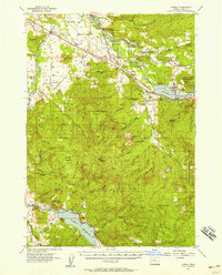
Other maps of this area

1935 · Lowell
USGS Topo · 1:96,000

1942 · Lowell
USGS Topo · 1:125,000
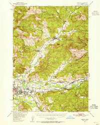
1950 · Marcola
USGS Topo · 1:62,500
1951 · Leaburg
USGS Topo · 1:62,500
1952 · Marcola
USGS Topo · 1:62,500

1953 · Salem
USGS Topo · 1:250,000

1954 · Salem
USGS Topo · 1:250,000
1955 · Hardesty Mtn
USGS Topo · 1:62,500
1955 · Lowell
USGS Topo · 1:62,500

1958 · Roseburg
USGS Topo · 1:250,000