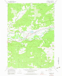
1967 Map of Walterville
USGS Topo · Published 1983About this map
The Mc Kenzie River winds through this portion of Lane County, driving a local economy tied to both the water and the timbered hillsides. At Walterville, the landscape is defined by the Canal and Walterville Res, which channel the river's power to the Walterville Powerplant. This infrastructure, along with the Substation and Pump, illustrates the mid-century industrial utility of the McKenzie corridor. Settlement is clustered along the valley floor, where Thurston Road and Deerhorn Road connect small residential pockets and community hubs.
Find a feature on this map
41 named features on this map. Tap any name to fly to it.
Don’t see what you’re looking for? This feature index may not catch every label — zoom into the map to look around manually.
Map Details
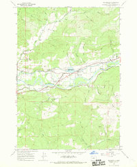
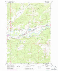
Editions of this 1967 Walterville Map
3 editions found
Other maps of this area

1935 · Lowell
USGS Topo · 1:96,000

1942 · Lowell
USGS Topo · 1:125,000

1950 · Marcola
USGS Topo · 1:62,500

1951 · Leaburg
USGS Topo · 1:62,500

1952 · Marcola
USGS Topo · 1:62,500

1953 · Salem
USGS Topo · 1:250,000

1954 · Salem
USGS Topo · 1:250,000

1955 · Hardesty Mtn
USGS Topo · 1:62,500

1955 · Lowell
USGS Topo · 1:62,500

1958 · Roseburg
USGS Topo · 1:250,000