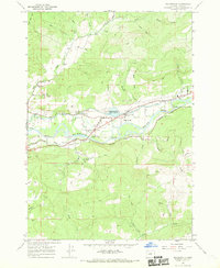
1967 Map of Walterville
USGS Topo · Published 1969About this map
The Mc Kenzie River corridor in central Lane County defines this landscape, where the Walterville Canal diverts water to the Walterville Powerplant to support early hydroelectric development. The community of Walterville serves as the focal point, anchored by the Walterville Sch and a local Fire Station. To the north, the settlement of Nye and the Camp Creek Sch mark the rural residential patterns of the late 1960s.
Find a feature on this map
44 named features on this map. Tap any name to fly to it.
Don’t see what you’re looking for? This feature index may not catch every label — zoom into the map to look around manually.
Map Details
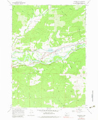
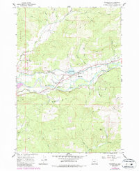
Editions of this 1967 Walterville Map
3 editions found
Other maps of this area

1935 · Lowell
USGS Topo · 1:96,000

1942 · Lowell
USGS Topo · 1:125,000

1950 · Marcola
USGS Topo · 1:62,500

1951 · Leaburg
USGS Topo · 1:62,500

1952 · Marcola
USGS Topo · 1:62,500

1953 · Salem
USGS Topo · 1:250,000

1954 · Salem
USGS Topo · 1:250,000

1955 · Hardesty Mtn
USGS Topo · 1:62,500

1955 · Lowell
USGS Topo · 1:62,500

1958 · Roseburg
USGS Topo · 1:250,000