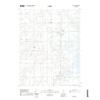
2021 Map of Waltonville
USGS Topo · Published 2021About this map
Waltonville serves as the central hub for this portion of Jefferson County, characterized by a transition from traditional agricultural plots to modern water management and industrial infrastructure. The landscape is dotted with small settlements such as Scheller, Williamsburg, and Emerson City, each connected by an extensive grid of county roads. For genealogists, the map is particularly detailed, recording numerous local burying grounds including Horse Prairie Cem, Old Baptist Cem, and Saint Barbara Cem.
Find a feature on this map
59 named features on this map. Tap any name to fly to it.
Don’t see what you’re looking for? This feature index may not catch every label — zoom into the map to look around manually.
Map Details
Editions of this 2021 Waltonville Map
This is the sole edition of this map. No revisions or reprints were ever made.
Other maps of this area

1926 · Duquoin
USGS Topo · 1:62,500

1933 · Mount Vernon
USGS Topo · 1:48,000

1939 · Ina
USGS Topo · 1:62,500

1940 · Mount Vernon
USGS Topo · 1:62,500

1943 · Ina
USGS Topo · 1:62,500

1943 · Ashley
USGS Topo · 1:62,500

1946 · Ashley
USGS Topo · 1:62,500

1958 · Belleville
USGS Topo · 1:250,000

1962 · Belleville
USGS Topo · 1:250,000
1965 · Mount Vernon
USGS Topo · 1:24,000