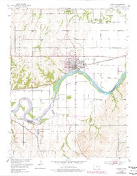
1953 Map of Wamego
USGS Topo · Published 1978About this map
Wamego serves as the central hub of this mid-century Kansas landscape, situated along the north bank of the Kansas River where the Union Pacific railroad tracks parallel the water. The map documents a significant intersection of local history and transportation, capturing the transition from the old Pottawatomie Reservation Boundary to modern infrastructure like the Wamego Municipal Landing Strip. To the south, across the river in Wabaunsee County, the settlement of Wabaunsee and its nearby Wabaunsee Cem mark an area defined by the winding course of Antelope Creek and the Chicago Rock Island and Pacific rail line. The presence of several cemeteries, including St. Bernard Cem to the north, and a network of levees protecting the riverfront settlements, highlights the community's adaptation to the prairie river valley's geography and history.
Find a feature on this map
30 named features on this map. Tap any name to fly to it.
Don’t see what you’re looking for? This feature index may not catch every label — zoom into the map to look around manually.
Map Details
Editions of this 1953 Wamego Map
3 editions found
Other maps of this area

1889 · Wamego
USGS Topo · 1:125,000

1894 · Wamego
USGS Topo · 1:125,000

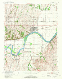
1953 · Wamego
USGS Topo · 1:24,000

1953 · St George
USGS Topo · 1:24,000

1953 · Belvue
USGS Topo · 1:24,000
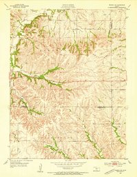
1953 · Wamego SW
USGS Topo · 1:24,000

1954 · Alma
USGS Topo · 1:24,000

1954 · Mc Farland
USGS Topo · 1:24,000

1955 · Manhattan
USGS Topo · 1:250,000

1956 · Manhattan
USGS Topo · 1:250,000