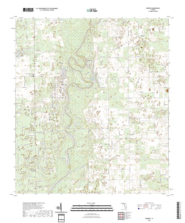
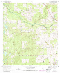
2024 Map of Wannee
USGS Topo · Published 2024About this map
The Suwannee River carves a winding path through this region of the Florida panhandle, serving as the natural boundary between Gilchrist and Dixie counties. This landscape is defined by its numerous freshwater features, including Hart Springs, Sun Springs, Otter Springs, and the aptly named Lumber Camp Springs. These water sources historically supported local industry and small settlements like Wannee and Curtis. Genealogists will find significant value in the distribution of local burial sites, such as the Fayetteville Cem, McCrabb Baptist Church Cem, and the Old McCrabb Cem. Further south, the terrain transitions toward Old Town Hammock, while the river is flanked by landmarks like McMillan Bluff. The detailed road network, featuring routes such as Ne 709 Ave and Ne 516 Ave, illustrates the rural connectivity of these riverside communities.
Find a feature on this map
124 named features on this map. Tap any name to fly to it.
Don’t see what you’re looking for? This feature index may not catch every label — zoom into the map to look around manually.
Map Details
Editions of this 2024 Wannee Map
This is the sole edition of this map. No revisions or reprints were ever made.
Historical Maps of Blitchville Through Time
24 maps found
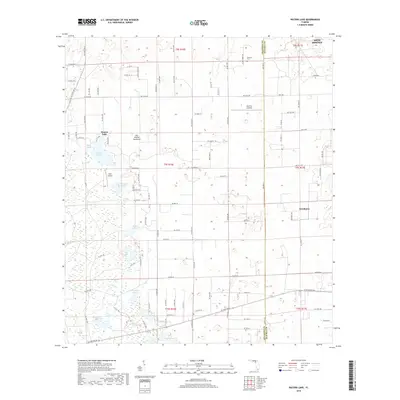
1968 Fourmile Lake
Gilchrist County, FL
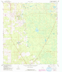
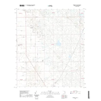
1968 Wannee
Gilchrist County, FL
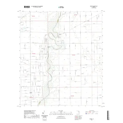
1968 Waters Lake
Gilchrist County, FL
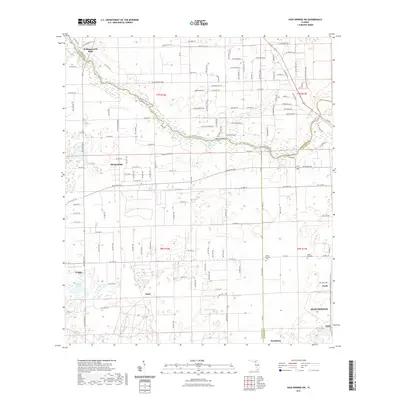
1969 High Springs SW
Gilchrist County, FL
2012 Fourmile Lake
Gilchrist County, FL
2012 High Springs SW
Gilchrist County, FL
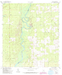
2012 Wannee
Gilchrist County, FL
2012 Waters Lake
Gilchrist County, FL
2015 Fourmile Lake
Gilchrist County, FL
2015 High Springs SW
Gilchrist County, FL
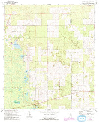
2015 Wannee
Gilchrist County, FL
2015 Waters Lake
Gilchrist County, FL
2018 Fourmile Lake
Gilchrist County, FL
2018 High Springs SW
Gilchrist County, FL
2018 Wannee
Gilchrist County, FL
2018 Waters Lake
Gilchrist County, FL
2021 Fourmile Lake
Gilchrist County, FL
2021 High Springs SW
Gilchrist County, FL
2021 Wannee
Gilchrist County, FL
2021 Waters Lake
Gilchrist County, FL
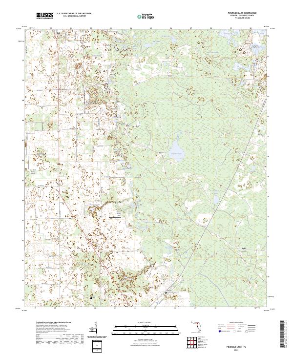
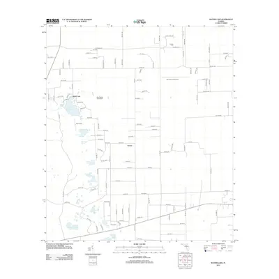
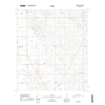
2024 Fourmile Lake
Gilchrist County, FL
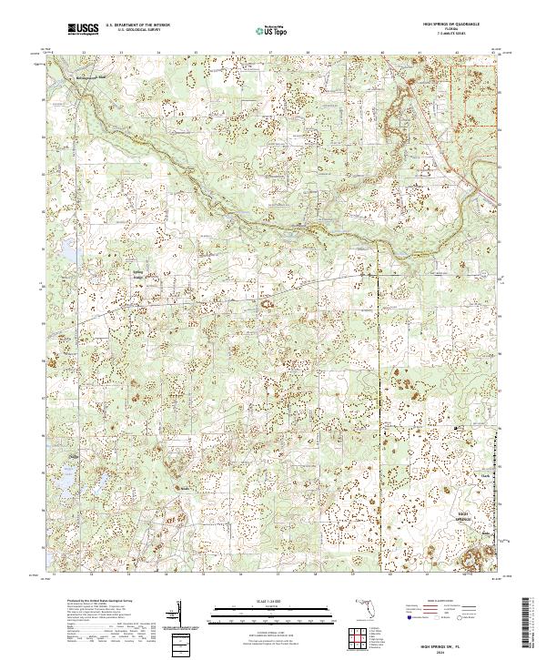
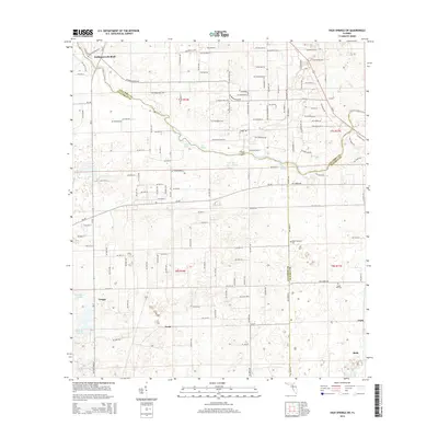
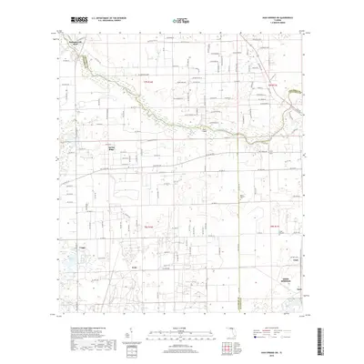
2024 High Springs SW
Gilchrist County, FL
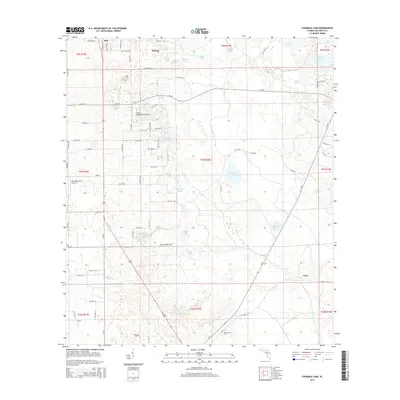
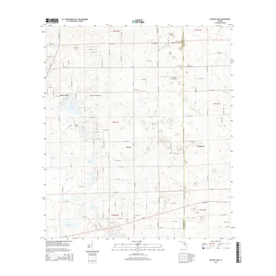
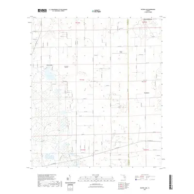
2024 Wannee
Gilchrist County, FL
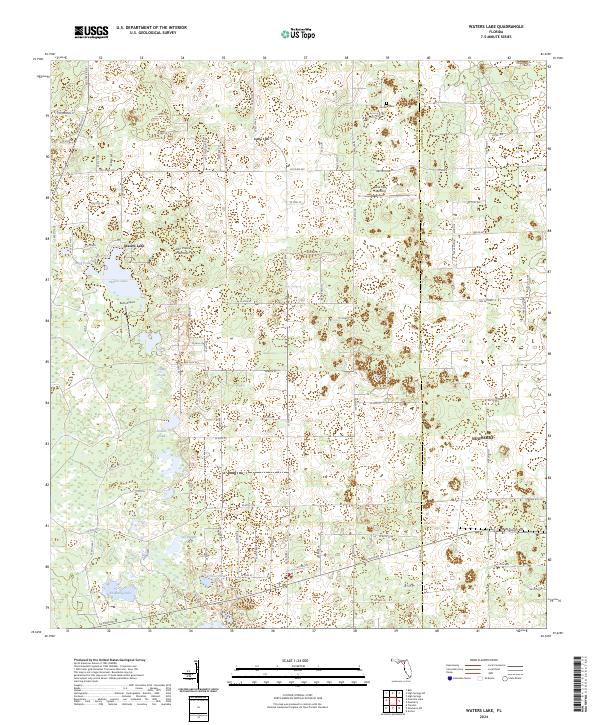
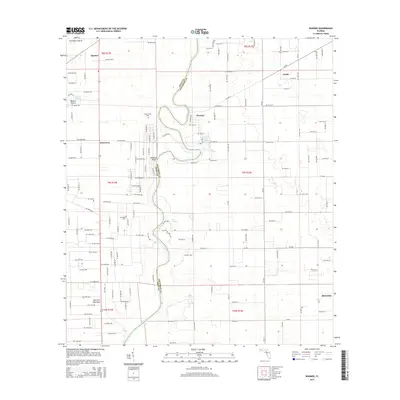
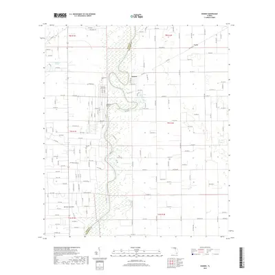
2024 Waters Lake
Gilchrist County, FL