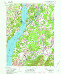
1956 Map of Wappingers Falls
USGS Topo · Published 1982About this map
The Hudson River corridor anchors this mid-century survey of the mid-Hudson Valley, tracing the industrial and institutional development between Beacon and Wappingers Falls. The landscape reflects a dense concentration of public facilities, including the sprawling grounds of Matteawan State Hospital and the Fishkill Correction Facility near Glenham. Along the western bank, the Conrail rail lines and riverfront industry at Roseton and Danskammer Point define the shore. The interior landscape is marked by religious and social institutions, such as Mt Alvernia Seminary and the Childrens Aid Society Camps, alongside established residential centers like Fishkill and Hughsonville. Geographically, the area is defined by the convergence of Wappinger Creek and Fishkill Creek into the Hudson, with the heights of Beacon Hills rising to the south.
Find a feature on this map
79 named features on this map. Tap any name to fly to it.
Don’t see what you’re looking for? This feature index may not catch every label — zoom into the map to look around manually.
Map Details
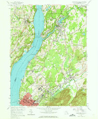
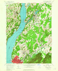
Editions of this 1956 Wappingers Falls Map
3 editions found
Other maps of this area

1892 · West Point
USGS Topo · 1:62,500

1893 · Poughkeepsie
USGS Topo · 1:62,500

1894 · West Point
USGS Topo · 1:62,500

1894 · Poughkeepsie
USGS Topo · 1:62,500

1899 · West Point
USGS Topo · 1:62,500

1901 · West Point
USGS Topo · 1:62,500

1902 · Schunemunk
USGS Topo · 1:62,500

1903 · Poughkeepsie
USGS Topo · 1:62,500

1903 · Newburg
USGS Topo · 1:62,500

1930 · Schunemunk
USGS Topo · 1:48,000