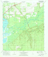
1970 Map of Ward Basin
USGS Topo · Published 1972About this map
Santa Rosa Field and Eglin Air Force Base dominate the landscape in this 1970 survey of coastal Santa Rosa County. The southern half of the map is defined by the military reservation, including Aux Field No 10 and the distinctive Lookout Tower positioned near Dry Hollow. To the north, the winding Yellow River and Boiling Creek create a complex network of wetlands and sloughs, including Palmer Slough and Cat Island Lake.
Find a feature on this map
57 named features on this map. Tap any name to fly to it.
Don’t see what you’re looking for? This feature index may not catch every label — zoom into the map to look around manually.
Map Details
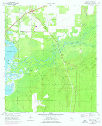
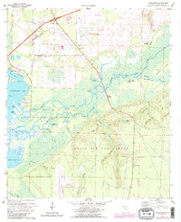
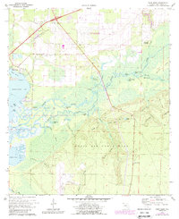
Editions of this 1970 Ward Basin Map
4 editions found
Other maps of this area

1920 · Milton
USGS Topo · 1:62,500

1921 · Holley
USGS Topo · 1:62,500

1921 · Pensacola
USGS Topo · 1:62,500

1934 · Harold
USGS Topo · 1:62,500

1936 · Holley
USGS Topo · 1:48,000

1937 · Harold
USGS Topo · 1:62,500

1938 · Holley
USGS Topo · 1:62,500

1938 · Harold
USGS Topo · 1:62,500

1941 · Pensacola
USGS Topo · 1:62,500

1941 · Milton
USGS Topo · 1:62,500