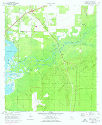
1970 Map of Ward Basin
USGS Topo · Published 1977About this map
Blackwater Bay and the winding Yellow River dominate this coastal Florida landscape, where the tidal wetlands of Ward Basin meet the military training grounds of Eglin Air Force Base. The map reveals a complex aquatic network of sloughs and lakes, such as Plank Bridge Lake and Cat Island Lake, which historically shaped local movement before the modern expansion of road infrastructure.
Find a feature on this map
55 named features on this map. Tap any name to fly to it.
Don’t see what you’re looking for? This feature index may not catch every label — zoom into the map to look around manually.
Map Details
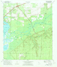
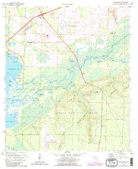
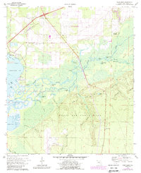
Editions of this 1970 Ward Basin Map
4 editions found
Other maps of this area

1920 · Milton
USGS Topo · 1:62,500

1921 · Holley
USGS Topo · 1:62,500

1921 · Pensacola
USGS Topo · 1:62,500

1934 · Harold
USGS Topo · 1:62,500

1936 · Holley
USGS Topo · 1:48,000

1937 · Harold
USGS Topo · 1:62,500

1938 · Holley
USGS Topo · 1:62,500

1938 · Harold
USGS Topo · 1:62,500

1941 · Pensacola
USGS Topo · 1:62,500

1941 · Milton
USGS Topo · 1:62,500