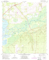
1970 Map of Ward Basin
USGS Topo · Published 1987About this map
Blackwater Bay and the sprawling delta of the Yellow River dominate this coastal Santa Rosa County landscape during the late twentieth century. Much of the southern territory is occupied by the expansive Eglin Air Force Base, while the Yellow River Marsh Aquatic Preserve protects the complex network of bayous and sloughs, including Rattlesnake Bayou and Goggle-eye Lake. Local history is preserved in several small burial grounds such as Hickory Hammock Cem and Williams Memorial Cem, reflecting the area's rural roots.
Find a feature on this map
55 named features on this map. Tap any name to fly to it.
Don’t see what you’re looking for? This feature index may not catch every label — zoom into the map to look around manually.
Map Details
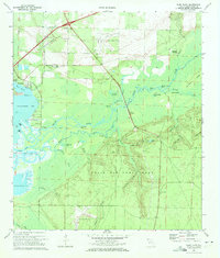
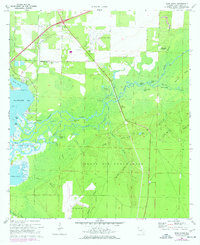
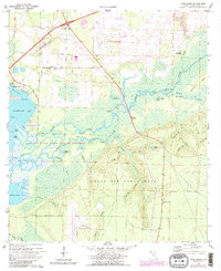
Editions of this 1970 Ward Basin Map
4 editions found
Other maps of this area

1920 · Milton
USGS Topo · 1:62,500

1921 · Holley
USGS Topo · 1:62,500

1921 · Pensacola
USGS Topo · 1:62,500

1934 · Harold
USGS Topo · 1:62,500

1936 · Holley
USGS Topo · 1:48,000

1937 · Harold
USGS Topo · 1:62,500

1938 · Holley
USGS Topo · 1:62,500

1938 · Harold
USGS Topo · 1:62,500

1941 · Pensacola
USGS Topo · 1:62,500

1941 · Milton
USGS Topo · 1:62,500