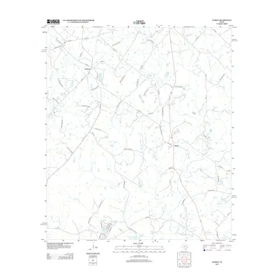
2013 Map of Warda
USGS Topo · Published 2013About this map
The settlement of Northrup anchors the northwestern corner of this Lee County landscape, where the rural road network branches out toward Warda and the surrounding creek bottoms. Significant water features such as Rabbs Cr, Piney Cr, and Bear Cr drain the territory, carving the terrain around family-named landmarks like Walker Lake and Bamsch Lake. Local history and genealogy are anchored by the Foerster Cem and the institutional presence of Warda Church Rd, marking the spiritual and communal centers of this Texas interior.
Find a feature on this map
82 named features on this map. Tap any name to fly to it.
Don’t see what you’re looking for? This feature index may not catch every label — zoom into the map to look around manually.
Map Details
Editions of this 2013 Warda Map
This is the sole edition of this map. No revisions or reprints were ever made.
Other maps of this area

1885 · Bastrop
USGS Topo · 1:125,000

1893 · Bastrop
USGS Topo · 1:125,000

1901 · Flatonia
USGS Topo · 1:125,000

1904 · Bastrop
USGS Topo · 1:125,000

1919 · Giddings
USGS Topo · 1:62,500

1948 · Smithville
USGS Topo · 1:62,500

1950 · Smithville
USGS Topo · 1:62,500

1953 · Seguin
USGS Topo · 1:250,000

1954 · Austin
USGS Topo · 1:250,000

1956 · La Grange
USGS Topo · 1:62,500