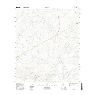
2016 Map of Warda
USGS Topo · Published 2016About this map
The boundary between Lee and Fayette Counties in Texas cuts diagonally through this landscape, dividing the communities of Northrup and Warda. This region is defined by a dense network of watercourses that feed into Rabbs Creek and Pin Oak Creek, creating a complex drainage pattern across the terrain. Small settlements are connected by a web of local roads and farm-to-market routes like FM 448 and FM 153, while larger water bodies like Walker Lake and Bamsch Lake punctuate the northern sections.
Find a feature on this map
75 named features on this map. Tap any name to fly to it.
Don’t see what you’re looking for? This feature index may not catch every label — zoom into the map to look around manually.
Map Details
Editions of this 2016 Warda Map
This is the sole edition of this map. No revisions or reprints were ever made.
Other maps of this area

1885 · Bastrop
USGS Topo · 1:125,000

1893 · Bastrop
USGS Topo · 1:125,000

1901 · Flatonia
USGS Topo · 1:125,000

1904 · Bastrop
USGS Topo · 1:125,000

1919 · Giddings
USGS Topo · 1:62,500

1948 · Smithville
USGS Topo · 1:62,500

1950 · Smithville
USGS Topo · 1:62,500

1953 · Seguin
USGS Topo · 1:250,000

1954 · Austin
USGS Topo · 1:250,000

1956 · La Grange
USGS Topo · 1:62,500