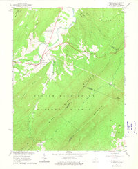
1965 Map of Wardensville
USGS Topo · Published 1975About this map
Wardensville serves as the focal point for this mid-1960s study of the mountainous borderlands where West Virginia meets Virginia. The settlement pattern follows the fertile valleys carved by the Cacapon River and its numerous tributaries, including Moores Run and Waites Run. The presence of the Old Iron Furnace near the base of Anderson Ridge points to a legacy of early industrial activity in the George Washington National Forest.
Find a feature on this map
45 named features on this map. Tap any name to fly to it.
Don’t see what you’re looking for? This feature index may not catch every label — zoom into the map to look around manually.
Map Details
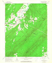
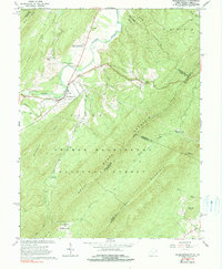
Editions of this 1965 Wardensville Map
Other maps of this area

1891 · Romney
USGS Topo · 1:125,000

1892 · Woodstock
USGS Topo · 1:125,000

1893 · Luray
USGS Topo · 1:125,000

1894 · Winchester
USGS Topo · 1:125,000

1905 · Luray
USGS Topo · 1:125,000

1922 · Wardensville
USGS Topo · 1:62,500

1923 · Middletown
USGS Topo · 1:62,500

1923 · Edinburg
USGS Topo · 1:62,500

1924 · Wardensville
USGS Topo · 1:62,500

1937 · Middletown
USGS Topo · 1:48,000