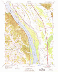
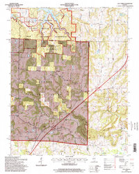
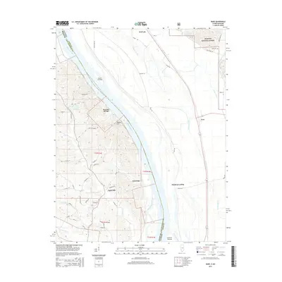
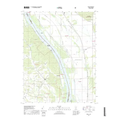
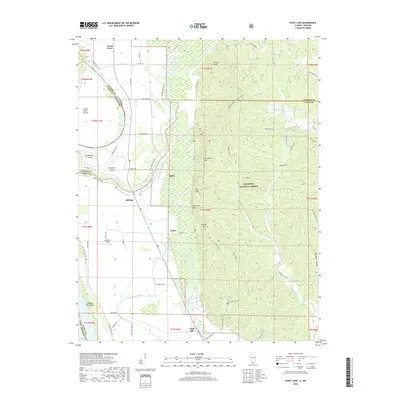
1947 Map of Ware
USGS Topo · Published 1969About this map
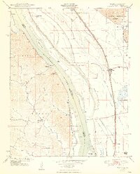
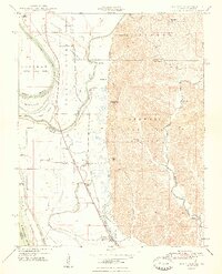
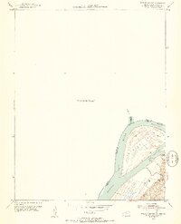
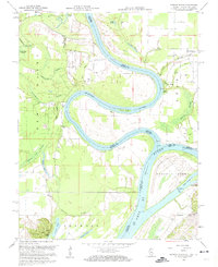
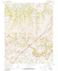
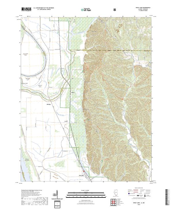
Egypt Mills and the riverfront landings of the late 1940s define this stretch of the Mississippi River where Illinois and Missouri meet. The landscape is split between the alluvial floodplains of Union County and the steep, wooded bluffs of the Shawnee National Forest. This era shows a transition in transportation, where the heavy infrastructure of the Illinois Central Missouri Pacific and St Louis San Francisco railroads run parallel to the shifting river channels and features like Vancill Towhead.
Find a feature on this map
31 named features on this map. Tap any name to fly to it.
Don’t see what you’re looking for? This feature index may not catch every label — zoom into the map to look around manually.
Map Details
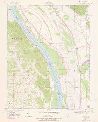
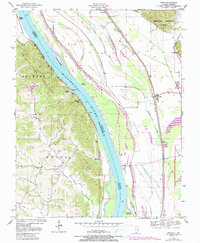
Editions of this 1947 Ware Map
3 editions found
Historical Maps of Ware Through Time
31 maps found
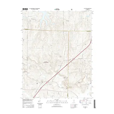
1947 Ware
Union County, IL
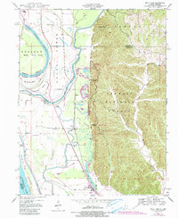
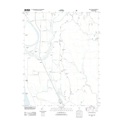
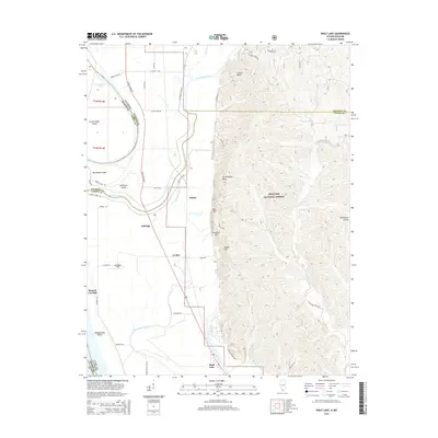
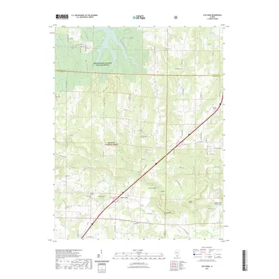
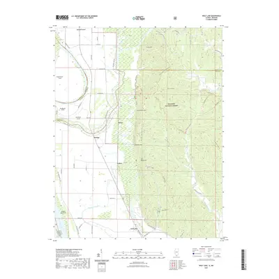
1947 Wolf Lake
Union County, IL
1948 Ware
Union County, IL
1948 Wolf Lake
Union County, IL
1953 Wabash Island
Union County, IL
1958 Wabash Island
Union County, IL
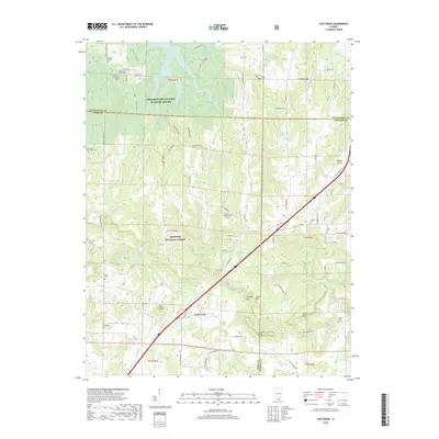
1966 Lick Creek
Union County, IL
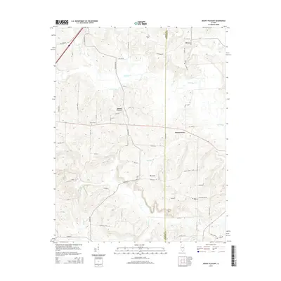
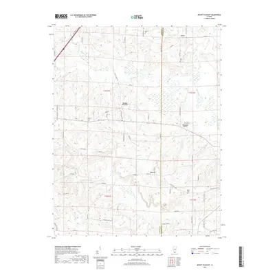
1966 Mt Pleasant
Union County, IL
1993 Ware
Union County, IL
1994 Wolf Lake
Union County, IL
1996 Lick Creek
Union County, IL
2012 Lick Creek
Union County, IL
2012 Mount Pleasant
Union County, IL
2012 Ware
Union County, IL
2012 Wolf Lake
Union County, IL
2015 Lick Creek
Union County, IL
2015 Mount Pleasant
Union County, IL
2015 Ware
Union County, IL
2015 Wolf Lake
Union County, IL
2018 Lick Creek
Union County, IL
2018 Mount Pleasant
Union County, IL
2018 Ware
Union County, IL
2018 Wolf Lake
Union County, IL
2021 Lick Creek
Union County, IL
2021 Mount Pleasant
Union County, IL
2021 Ware
Union County, IL
2021 Wolf Lake
Union County, IL
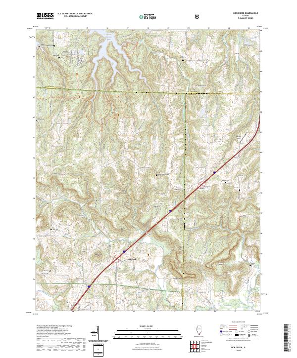
2024 Lick Creek
Union County, IL
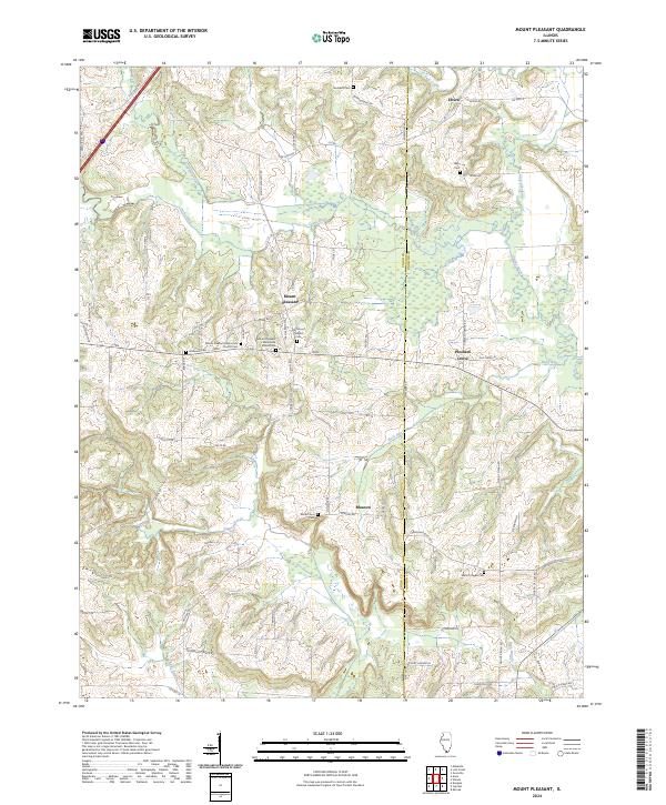
2024 Mount Pleasant
Union County, IL
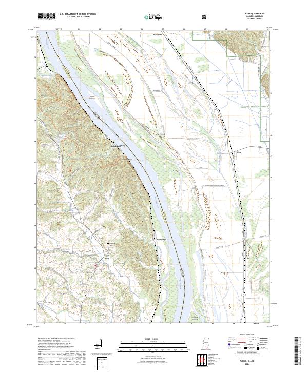
2024 Ware
Union County, IL
2024 Wolf Lake
Union County, IL