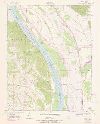
1947 Map of Ware
USGS Topo · Published 1978About this map
The Mississippi River dominates this mid-century survey, dividing the landscape between Illinois and Missouri as it winds past Vancill Towhead and Swiftsure Towhead. Along the eastern bank, the commerce of the river and rail is evident, with the Illinois Central, Missouri Pacific, and St Louis San Francisco railroads following the river's course near Ware and Hamburg Landing. The Missouri side features the rugged eastern edge of the Shawnee National Forest, where smaller settlements like Egypt Mills and Bainbridge sit tucked behind the bluffs.
Find a feature on this map
35 named features on this map. Tap any name to fly to it.
Don’t see what you’re looking for? This feature index may not catch every label — zoom into the map to look around manually.
Map Details
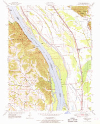
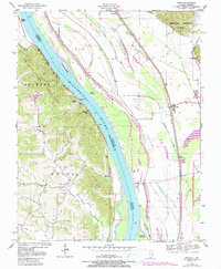
Editions of this 1947 Ware Map
3 editions found
Other maps of this area

1918 · Altenburg
USGS Topo · 1:62,500

1920 · Jonesboro
USGS Topo · 1:62,500

1922 · Cape Girardeau
USGS Topo · 1:62,500

1923 · Jonesboro
USGS Topo · 1:62,500

1924 · Cape Girardeau
USGS Topo · 1:62,500

1924 · Alto Pass
USGS Topo · 1:62,500

1925 · Altenburg
USGS Topo · 1:62,500

1947 · Jonesboro
USGS Topo · 1:62,500

1947 · Alto Pass
USGS Topo · 1:62,500

1947 · Mc Clure
USGS Topo · 1:24,000