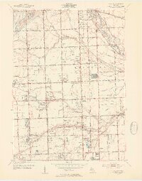
1952 Map of Warren
USGS Topo · Published 1953About this map
The Clinton River cuts through the northeast corner of this mid-century landscape, which shows a transition from agricultural drainage to suburban development across the Oakland Co Macomb Co line. Centered on the growing hub of Warren, the map captures a detailed network of drain systems like the Bear Creek and Red Run that once managed the hydrology of these flatlands. Aviation interests are well-represented by the presence of Wings Airport and Big Beaver Airport, while local recreational life is evidenced by the Sunnybrook Country Club and the Dodge Bros State Park No 8.
Find a feature on this map
74 named features on this map. Tap any name to fly to it.
Don’t see what you’re looking for? This feature index may not catch every label — zoom into the map to look around manually.
Map Details
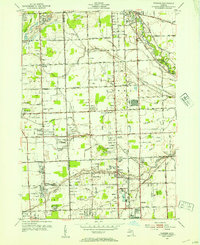
Editions of this 1952 Warren Map
2 editions found
Other maps of this area

1905 · Detroit
USGS Topo · 1:62,500

1905 · Grosse Pointe
USGS Topo · 1:62,500

1908 · Rochester
USGS Topo · 1:62,500

1912 · Mt Clemens
USGS Topo · 1:62,500

1918 · Detroit
USGS Topo · 1:62,500

1918 · Grosse Pointe
USGS Topo · 1:62,500

1924 · Detroit
USGS Topo · 1:62,500

1929 · Mt Clemens
USGS Topo · 1:62,500

1934 · Detroit
USGS Topo · 1:62,500

1936 · Warren
USGS Topo · 1:31,680