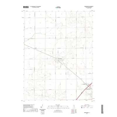
2021 Map of Warrensburg
USGS Topo · Published 2021About this map
The agricultural landscape of Macon County is anchored by the village of Warrensburg, where a small grid of streets such as E Main St and S Main St centers on a local Post Office. The surrounding terrain is defined by the drainage of S Fork Lake Fork and Willow Br, with the land partitioned by a strict rectilinear road network including Lincoln Memorial Pkwy and Co Rd 21. In the southern portion of the map, the residential expansion of Decatur begins to meet the rural hamlets of Bearsdale and Heman. Local history is preserved at the Illini Cem, situated along Park Rd, which serves as a landmark for family researchers in this part of Central Illinois.
Find a feature on this map
42 named features on this map. Tap any name to fly to it.
Don’t see what you’re looking for? This feature index may not catch every label — zoom into the map to look around manually.
Map Details
Editions of this 2021 Warrensburg Map
This is the sole edition of this map. No revisions or reprints were ever made.
Other maps of this area

1929 · Decatur
USGS Topo · 1:62,500

1933 · Decatur
USGS Topo · 1:62,500

1954 · Niantic
USGS Topo · 1:62,500

1957 · Kenney
USGS Topo · 1:62,500

1957 · Maroa
USGS Topo · 1:62,500

1958 · Peoria
USGS Topo · 1:250,000

1958 · Decatur
USGS Topo · 1:250,000

1961 · Peoria
USGS Topo · 1:250,000

1961 · Decatur
USGS Topo · 1:250,000

1963 · Peoria
USGS Topo · 1:250,000