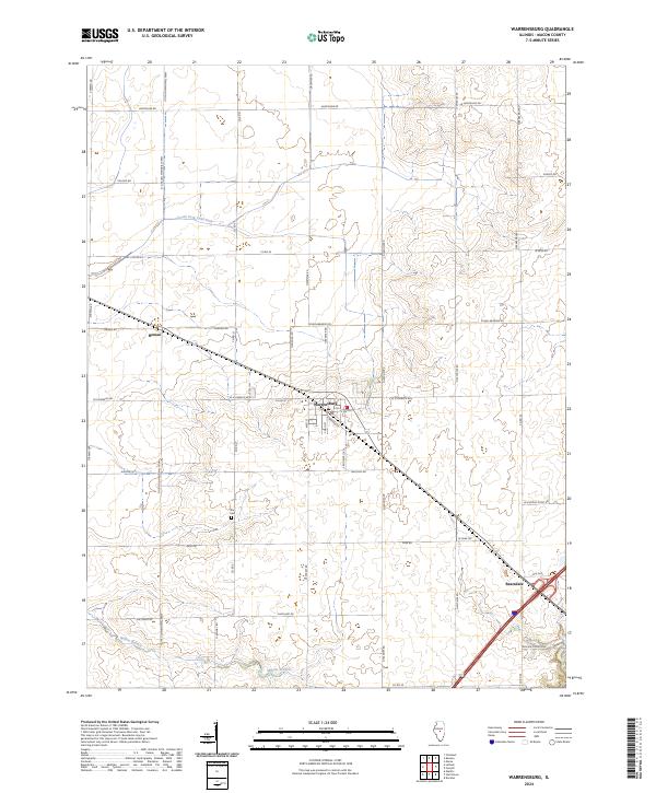
2024 Map of Warrensburg
USGS Topo · Published 2024About this map
Warrensburg serves as the central hub of this agricultural landscape in Macon County, where the village street grid meets the diagonal transit corridor of modern Illinois Route 121. The surrounding terrain is defined by the subtle drainage of South Fork Lake Fork in the north and Willow Branch to the south, framing a region dedicated to large-scale farming and rural residency. Genealogists and local historians can locate the Illini Cem, situated centrally among the section lines, as a key landmark for tracing early families in the township. Smaller named settlements like Heman and Bearsdale appear as quiet clusters along the primary roads, illustrating the persistent settlement patterns that have existed since the rail-era development of the Illinois prairie. The map captures the current state of local infrastructure, from the prominent Lincoln Memorial Pkwy to the intricate network of numbered and named county roads like N Bearsdale Rd and Strawn Rd.
Find a feature on this map
41 named features on this map. Tap any name to fly to it.
Don’t see what you’re looking for? This feature index may not catch every label — zoom into the map to look around manually.
Map Details
Editions of this 2024 Warrensburg Map
This is the sole edition of this map. No revisions or reprints were ever made.
Other maps of this area

1929 · Decatur
USGS Topo · 1:62,500

1933 · Decatur
USGS Topo · 1:62,500

1954 · Niantic
USGS Topo · 1:62,500

1957 · Kenney
USGS Topo · 1:62,500

1957 · Maroa
USGS Topo · 1:62,500

1958 · Peoria
USGS Topo · 1:250,000

1958 · Decatur
USGS Topo · 1:250,000

1961 · Peoria
USGS Topo · 1:250,000

1961 · Decatur
USGS Topo · 1:250,000

1963 · Peoria
USGS Topo · 1:250,000