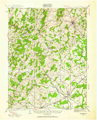
1927 Map of Warrenton
USGS Topo · Published 1961About this map
Warrenton serves as a primary hub of northern Virginia’s Piedmont region, where the Southern railroad and the Lee Highway intersect amidst a network of small agricultural settlements and rural schoolhouses. The landscape is defined by the winding course of the Rappahannock River, which forms the boundary between Fauquier, Rappahannock, and Culpeper counties. This survey reflects a period of established country life, documented through numerous family-named landmarks and institutions like Cliff Mills and the Fauquier White Sulphur Springs.
Find a feature on this map
70 named features on this map. Tap any name to fly to it.
Don’t see what you’re looking for? This feature index may not catch every label — zoom into the map to look around manually.
Map Details
Editions of this 1927 Warrenton Map
4 editions found
Other maps of this area

1887 · Spottsylvania
USGS Topo · 1:125,000

1892 · Spottsylvania
USGS Topo · 1:125,000

1892 · Gordonsville
USGS Topo · 1:125,000

1893 · Luray
USGS Topo · 1:125,000

1894 · Warrenton
USGS Topo · 1:125,000

1894 · Warrenton
USGS Topo · 1:62,500

1905 · Luray
USGS Topo · 1:125,000

1927 · Remington
USGS Topo · 1:48,000

1930 · Warrenton
USGS Topo · 1:62,500

1933 · Middleburg
USGS Topo · 1:62,500