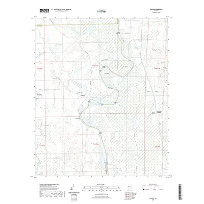
2020 Map of Warsaw
USGS Topo · Published 2020About this map
The Tennessee-Tombigbee Waterway defines this landscape where Pickens, Sumter, and Greene Counties converge. The river’s natural evolution is visible through numerous abandoned bends and bars, such as Barnes Bend and Cooks Bend, which have been bypassed by modern navigation channels like the Warsaw Cut-Off. Local settlements like Warsaw and Fair Oaks sit near the river's edge, while New West Greene anchors the eastern upland. Genealogists will find a high density of family and community burial grounds, including the Jamestown Cem near Warsaw and the Pleasant Valley Cem further east. The area’s spiritual life is marked by the Saint John Ch located south of the main river channel, serving a community defined by its proximity to the Gainesville Lake and the shifting waters of the Noxubee River.
Find a feature on this map
75 named features on this map. Tap any name to fly to it.
Don’t see what you’re looking for? This feature index may not catch every label — zoom into the map to look around manually.
Map Details
Editions of this 2020 Warsaw Map
This is the sole edition of this map. No revisions or reprints were ever made.
Other maps of this area

1953 · Meridian
USGS Topo · 1:250,000

1953 · West Point
USGS Topo · 1:250,000

1957 · Meridian
USGS Topo · 1:250,000

1958 · West Point
USGS Topo · 1:250,000

1963 · West Point
USGS Topo · 1:250,000

1965 · Meridian
USGS Topo · 1:250,000
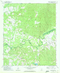
1970 · Pleasant Ridge
USGS Topo · 1:24,000
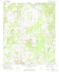
1970 · West Greene
USGS Topo · 1:24,000
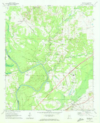
1970 · Boligee
USGS Topo · 1:24,000

1970 · Gainesville
USGS Topo · 1:24,000