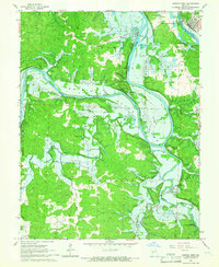
1965 Map of Warsaw West
USGS Topo · Published 1966About this map
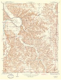
Warsaw sits at the confluence of the Osage River and the Lake of the Ozarks, a landscape on the brink of significant transformation. This mid-1960s survey documents the valley as it prepared for the creation of the Kaysinger Bluff Reservoir, with blue hatching clearly indicating the extensive areas destined for submergence. The map serves as a vital record of the existing human geography before the rising waters altered the terrain, showing established rural communities like Fairfield and Tackner alongside numerous family cemeteries such as Akens Cem and Wisdom Cem.
Find a feature on this map
43 named features on this map. Tap any name to fly to it.
Don’t see what you’re looking for? This feature index may not catch every label — zoom into the map to look around manually.
Map Details
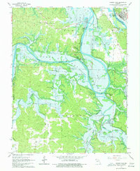
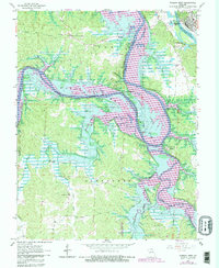
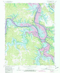
Editions of this 1965 Warsaw West Map
4 editions found
Other maps of this area

1887 · Clinton
USGS Topo · 1:125,000

1887 · Warsaw
USGS Topo · 1:125,000

1894 · Warsaw
USGS Topo · 1:125,000

1894 · Clinton
USGS Topo · 1:125,000

1935 · Dell
USGS Topo · 1:24,000

1936 · Shawnee Bend
USGS Topo · 1:24,000

1936 · Schuyler
USGS Topo · 1:24,000

1940 · Iconium
USGS Topo · 1:24,000

1941 · Valhalla
USGS Topo · 1:24,000
1944 · Iconium
USGS Topo · 1:24,000