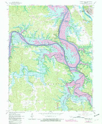
1965 Map of Warsaw West
USGS Topo · Published 1982About this map
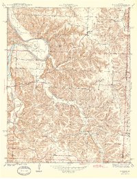
Harry S Truman Reservoir defines this reach of the river valley as it transitions during a period of massive hydraulic change. This survey captures the landscape just before and during the submergence of low-lying areas, with blue hatching indicating the planned expansion across the Osage River and its tributaries. Near the settlement of Wisdom, rural life is documented through landmarks like Freedom Sch and Wisdom Cem, while the northern banks near Warsaw show the early footprints of the Fish Hatchery and City Union Mission Camp. The river's winding path creates distinct landforms such as Peal Bend and Shawnee Bend, where bluffs like Cobb Bluff and Laird Bluff overlook the rising waters. These elevation changes mark the shift from traditional bottomland farming and timbering in Sugarcamp Hollow to a geography dominated by the growing reservoir.
Find a feature on this map
36 named features on this map. Tap any name to fly to it.
Don’t see what you’re looking for? This feature index may not catch every label — zoom into the map to look around manually.
Map Details
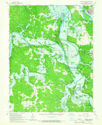
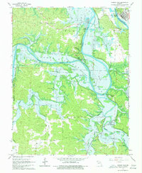
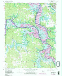
Editions of this 1965 Warsaw West Map
4 editions found
Other maps of this area

1887 · Clinton
USGS Topo · 1:125,000

1887 · Warsaw
USGS Topo · 1:125,000

1894 · Warsaw
USGS Topo · 1:125,000

1894 · Clinton
USGS Topo · 1:125,000

1935 · Dell
USGS Topo · 1:24,000

1936 · Shawnee Bend
USGS Topo · 1:24,000

1936 · Schuyler
USGS Topo · 1:24,000

1940 · Iconium
USGS Topo · 1:24,000

1941 · Valhalla
USGS Topo · 1:24,000
1944 · Iconium
USGS Topo · 1:24,000