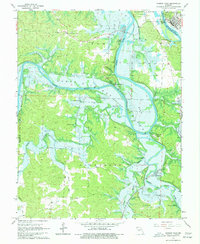
1965 Map of Warsaw West
USGS Topo · Published 1977About this map
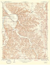
The Osage River and its major tributaries define this landscape during a period of transition as the Harry S Truman Reservoir project was underway. Blue hatching across the terrain indicates extensive areas slated for submersion, including the vicinity of the historic settlement at Fairfield. These planned inundations were set to significantly alter the geography of the Alexander and Tom townships, where rural life once centered on landmarks like the Hogles Creek Sch and Freedom Sch.
Find a feature on this map
45 named features on this map. Tap any name to fly to it.
Don’t see what you’re looking for? This feature index may not catch every label — zoom into the map to look around manually.
Map Details
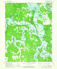
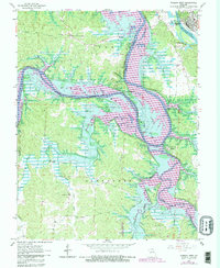
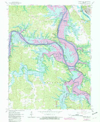
Editions of this 1965 Warsaw West Map
4 editions found
Other maps of this area

1887 · Clinton
USGS Topo · 1:125,000

1887 · Warsaw
USGS Topo · 1:125,000

1894 · Warsaw
USGS Topo · 1:125,000

1894 · Clinton
USGS Topo · 1:125,000

1935 · Dell
USGS Topo · 1:24,000

1936 · Shawnee Bend
USGS Topo · 1:24,000

1936 · Schuyler
USGS Topo · 1:24,000

1940 · Iconium
USGS Topo · 1:24,000

1941 · Valhalla
USGS Topo · 1:24,000
1944 · Iconium
USGS Topo · 1:24,000