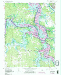
1965 Map of Warsaw West
USGS Topo · Published 1982About this map
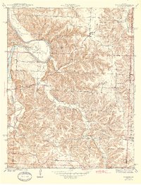
The Osage River and Pomme de Terre River define this Benton County landscape during a period of significant hydrological change. Revisions from the early 1980s illustrate the expansion of the Harry S Truman Reservoir, with blue hatching indicating areas planned for submergence. This transformation reshapes the environment around historic points like Wisdom Cem and Tackner. Despite the encroaching waters, the map preserves the location of rural infrastructure, including the Freedom Sch and Cedar Grove Ch. Local topographic landmarks such as Laird Bluff and Cobbs Bluff stand above the shifting shoreline, while small settlements like Pom-o-sa Heights and Valley View occupy the high ground between the river bends.
Find a feature on this map
34 named features on this map. Tap any name to fly to it.
Don’t see what you’re looking for? This feature index may not catch every label — zoom into the map to look around manually.
Map Details
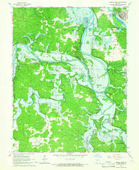
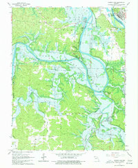
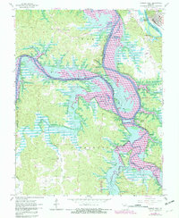
Editions of this 1965 Warsaw West Map
4 editions found
Other maps of this area

1887 · Clinton
USGS Topo · 1:125,000

1887 · Warsaw
USGS Topo · 1:125,000

1894 · Warsaw
USGS Topo · 1:125,000

1894 · Clinton
USGS Topo · 1:125,000

1935 · Dell
USGS Topo · 1:24,000

1936 · Shawnee Bend
USGS Topo · 1:24,000

1936 · Schuyler
USGS Topo · 1:24,000

1940 · Iconium
USGS Topo · 1:24,000

1941 · Valhalla
USGS Topo · 1:24,000
1944 · Iconium
USGS Topo · 1:24,000