
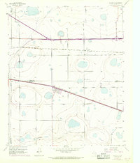
1956 Map of Washburn
USGS Topo · Published 1957About this map
Washburn stands as a pivotal rail junction on the High Plains during the mid-1950s, where the Fort Worth and Denver (Burlington) intersects with the Chicago Rock Island and Pacific. This Panhandle landscape is defined by its industrial and transit corridors, featuring a prominent Telegraph Line and a substantial Pipeline that traverse the flat terrain near Yarnall. The map reveals the intricate water management required in this arid region, dotted with numerous labels for wells and a central Pumping Sta. To the south, the terrain breaks toward Mulberry Creek, providing a natural contrast to the grid-like precision of the highway system, including the legendary Route 66 and Highway 287. The local history of the area is anchored by the Washburn Cem, serving as a permanent record of the families who settled this intersection of commerce and transport.
Find a feature on this map
17 named features on this map. Tap any name to fly to it.
Don’t see what you’re looking for? This feature index may not catch every label — zoom into the map to look around manually.
Map Details
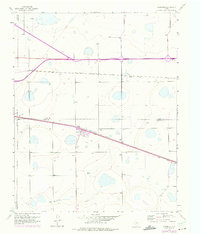
Editions of this 1956 Washburn Map
3 editions found
Other maps of this area

1953 · Mayer
USGS Topo · 1:24,000

1953 · Sevenmile Basin
USGS Topo · 1:24,000

1954 · Amarillo
USGS Topo · 1:250,000

1956 · Thomas Ranch
USGS Topo · 1:24,000

1956 · Pullman
USGS Topo · 1:24,000

1958 · Amarillo
USGS Topo · 1:250,000

1960 · Fairview
USGS Topo · 1:24,000

1960 · Claude
USGS Topo · 1:62,500

1966 · Panhandle West
USGS Topo · 1:24,000
1983 · Claude SW
USGS Topo · 1:24,000