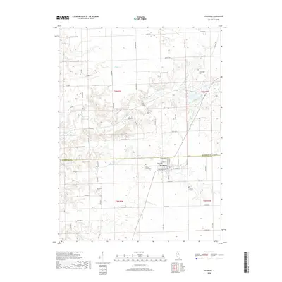
2018 Map of Washburn
USGS Topo · Published 2018About this map
Washburn sits at the intersection of the Marshall and Woodford county line, serving as a focal point for this agrarian landscape. The village's religious and community history is anchored by the Saint Elizabeth Catholic Cem and the Lutheran Cem near the town center. To the north, the smaller settlement of Wilbern is situated along the winding course of Crow Creek, which dominates the central drainage of the quadrangle.
Find a feature on this map
47 named features on this map. Tap any name to fly to it.
Don’t see what you’re looking for? This feature index may not catch every label — zoom into the map to look around manually.
Map Details
Editions of this 2018 Washburn Map
This is the sole edition of this map. No revisions or reprints were ever made.
Other maps of this area

1893 · Lacon
USGS Topo · 1:62,500

1893 · Metamora
USGS Topo · 1:62,500

1933 · Lacon
USGS Topo · 1:62,500

1934 · Wenona
USGS Topo · 1:48,000

1937 · Metamora
USGS Topo · 1:62,500

1937 · Lacon
USGS Topo · 1:62,500

1939 · Wenona
USGS Topo · 1:62,500

1948 · Metamora
USGS Topo · 1:62,500

1955 · Minonk
USGS Topo · 1:62,500

1958 · Aurora
USGS Topo · 1:250,000