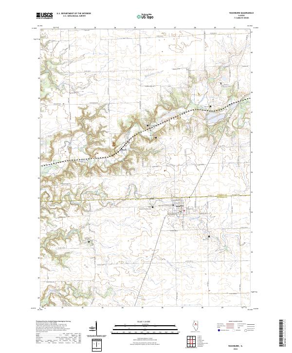
2024 Map of Washburn
USGS Topo · Published 2024About this map
Washburn sits along the border of Marshall and Woodford Counties, serving as the primary hub of this central Illinois landscape. The town is marked by its community institutions, including the Saint Johns Lutheran Cem and Saint Elizabeth Catholic Cem, which anchor the southern edge of the settlement. The surrounding terrain is defined by a series of drainage systems, most notably Crow Creek and Pigeon Creek, which have carved distinct valleys through the prairie.
Find a feature on this map
73 named features on this map. Tap any name to fly to it.
Don’t see what you’re looking for? This feature index may not catch every label — zoom into the map to look around manually.
Map Details
Editions of this 2024 Washburn Map
This is the sole edition of this map. No revisions or reprints were ever made.
Other maps of this area

1893 · Lacon
USGS Topo · 1:62,500

1893 · Metamora
USGS Topo · 1:62,500

1933 · Lacon
USGS Topo · 1:62,500

1934 · Wenona
USGS Topo · 1:48,000

1937 · Metamora
USGS Topo · 1:62,500

1937 · Lacon
USGS Topo · 1:62,500

1939 · Wenona
USGS Topo · 1:62,500

1948 · Metamora
USGS Topo · 1:62,500

1955 · Minonk
USGS Topo · 1:62,500

1958 · Aurora
USGS Topo · 1:250,000