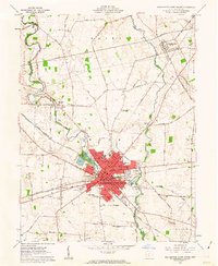
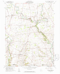
1961 Map of Washington Court House
USGS Topo · Published 1963About this map
Washington Court House serves as the focal point of this Fayette County survey, showing a well-established agricultural hub defined by its dense radial road network and significant rail presence. The town is a junction for the Pennsylvania RR, the Baltimore and Ohio RR, and the Detroit Toledo and Ironton RR, illustrating its importance as a shipping point for the surrounding farmland. Beyond the city center, rural life is marked by several outlying communities like Bloomingburg and Eber, alongside numerous country institutions including Harmony Ch and Sugar Creek Ch.
Find a feature on this map
55 named features on this map. Tap any name to fly to it.
Don’t see what you’re looking for? This feature index may not catch every label — zoom into the map to look around manually.
Map Details
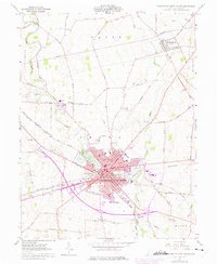
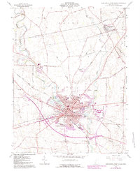
Editions of this 1961 Washington Court House Map
3 editions found
Other maps of this area

1906 · Mt Sterling
USGS Topo · 1:62,500

1916 · Octa
USGS Topo · 1:62,500

1917 · Greenfield
USGS Topo · 1:62,500

1917 · Sabina
USGS Topo · 1:62,500

1943 · Sabina
USGS Topo · 1:62,500

1944 · Greenfield
USGS Topo · 1:62,500

1944 · Octa
USGS Topo · 1:62,500

1947 · Columbus
USGS Topo · 1:250,000
1960 · Good Hope
USGS Topo · 1:24,000
1960 · New Martinsburg
USGS Topo · 1:24,000