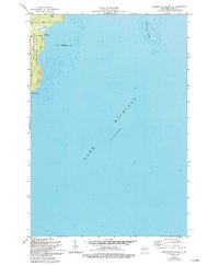
1982 Map of Washington Island SE
USGS Topo · Published 1994About this map
Washington Island's eastern coastline is defined by its low-lying marshes and the protective offshore presence of Hog Island. This map reveals a landscape where the natural hydrology of Big Marsh and Little Marsh dictates the placement of early road corridors like Michigan Road and Lake View Rd. These routes skirt the wetland edges, leading toward the recreational spaces of Eastside County Park and the preserved territory of the Green Bay National Wildlife Refuge.
Find a feature on this map
13 named features on this map. Tap any name to fly to it.
Don’t see what you’re looking for? This feature index may not catch every label — zoom into the map to look around manually.
Map Details
Editions of this 1982 Washington Island SE Map
2 editions found
Other maps of this area

1954 · Escanaba
USGS Topo · 1:250,000

1957 · Escanaba
USGS Topo · 1:250,000

1958 · Escanaba
USGS Topo · 1:250,000

1960 · Washington Island
USGS Topo · 1:62,500

1982 · Washington Island SE
USGS Topo · 1:24,000

1982 · Washington Island NW
USGS Topo · 1:24,000

1982 · Washington Island NE
USGS Topo · 1:24,000
1982 · Washington Island SW
USGS Topo · 1:24,000
1982 · Spider Island
USGS Topo · 1:24,000

1984 · Washington Island
USGS Topo · 1:100,000