
1982 Map of Washington Island SE
USGS Topo · Published 1982About this map
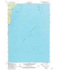
Washington Island meets the expanse of Lake Michigan in this 1982 survey, revealing the remote coastal character of northeastern Door County. The southeastern corner of the island is defined by a low-lying landscape of wetlands, including Big Marsh and Little Marsh, situated just inland from the rocky eastern shoreline. Local recreation and conservation are centered at Eastside County Park, while the offshore environment is preserved within the Green Bay National Wildlife Refuge, which includes the small outcrop of Hog Island.
Find a feature on this map
12 named features on this map. Tap any name to fly to it.
Don’t see what you’re looking for? This feature index may not catch every label — zoom into the map to look around manually.
Map Details
Editions of this 1982 Washington Island SE Map
2 editions found
Other maps of this area

1954 · Escanaba
USGS Topo · 1:250,000

1957 · Escanaba
USGS Topo · 1:250,000

1958 · Escanaba
USGS Topo · 1:250,000

1960 · Washington Island
USGS Topo · 1:62,500

1982 · Washington Island NW
USGS Topo · 1:24,000

1982 · Washington Island NE
USGS Topo · 1:24,000
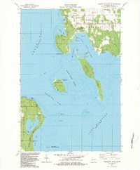
1982 · Washington Island SW
USGS Topo · 1:24,000
1982 · Spider Island
USGS Topo · 1:24,000

1984 · Washington Island
USGS Topo · 1:100,000
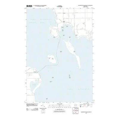
2010 · Washington Island SW
USGS Topo · 1:24,000