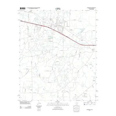
2013 Map of Waskom
USGS Topo · Published 2013About this map
The Waskom Gas and Oil Field anchors the economy of this borderland region where Texas meets Louisiana. Centered on the town of Waskom, the map illustrates a landscape shaped by petroleum extraction and drainage patterns like Little Sis Cr and the E Fork Socagee Cr. The settlement of Lorraine sits near the state line, while Jonesville appears to the northwest, connected by local routes such as FM-134 and the Jonesville Cutoff.
Find a feature on this map
110 named features on this map. Tap any name to fly to it.
Don’t see what you’re looking for? This feature index may not catch every label — zoom into the map to look around manually.
Map Details
Editions of this 2013 Waskom Map
This is the sole edition of this map. No revisions or reprints were ever made.
Other maps of this area

1943 · Waskom
USGS Topo · 1:62,500

1944 · Caddo Lake
USGS Topo · 1:62,500

1945 · Waskom
USGS Topo · 1:62,500

1945 · Greenwood
USGS Topo · 1:62,500

1946 · Caddo Lake
USGS Topo · 1:62,500

1948 · Mooringsport
USGS Topo · 1:62,500

1955 · Shreveport
USGS Topo · 1:250,000

1955 · Mooringsport
USGS Topo · 1:62,500

1955 · Greenwood
USGS Topo · 1:62,500

1956 · Shreveport
USGS Topo · 1:250,000