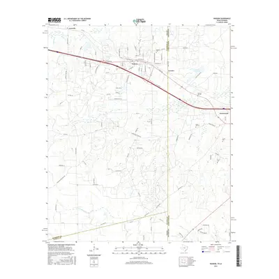
2016 Map of Waskom
USGS Topo · Published 2016About this map
The Texas Louisiana state line bisects this landscape, separating Harrison and Panola counties from Caddo Parish. The town of Waskom serves as a central hub, situated along the intersection of W Waskom Ave and N Hearne St. To the east, across the border in Louisiana, lies the community of Greenwood. This 2016 survey illustrates a region defined by its transit corridors and water features, including Clearview Lake and State Line Lake. A notable density of burial sites is found throughout the area, such as Restland Cem near the state border and the more specialized Park Rest Pet Cem. The hydrology is marked by the courses of Big Sis Cr and Little Sis Cr in the north, while E Fork Socagee Cr meanders through the southern reaches of the quadrangle.
Find a feature on this map
91 named features on this map. Tap any name to fly to it.
Don’t see what you’re looking for? This feature index may not catch every label — zoom into the map to look around manually.
Map Details
Editions of this 2016 Waskom Map
This is the sole edition of this map. No revisions or reprints were ever made.
Other maps of this area

1943 · Waskom
USGS Topo · 1:62,500

1944 · Caddo Lake
USGS Topo · 1:62,500

1945 · Waskom
USGS Topo · 1:62,500

1945 · Greenwood
USGS Topo · 1:62,500

1946 · Caddo Lake
USGS Topo · 1:62,500

1948 · Mooringsport
USGS Topo · 1:62,500

1955 · Shreveport
USGS Topo · 1:250,000

1955 · Mooringsport
USGS Topo · 1:62,500

1955 · Greenwood
USGS Topo · 1:62,500

1956 · Shreveport
USGS Topo · 1:250,000