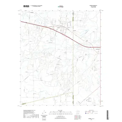
2019 Map of Waskom
USGS Topo · Published 2019About this map
Waskom sits at the heart of this landscape, positioned along the historic border between Texas and Louisiana. The map documents the intricate road networks and property divisions surrounding this border community, where residential streets like Mary Elizabeth Dr and Eberle St meet the corridor of W Texas Ave. The area is characterized by several rural cemeteries that serve as vital markers for local genealogy, including Restland Cem and the distant Hightower Cem to the south.
Find a feature on this map
94 named features on this map. Tap any name to fly to it.
Don’t see what you’re looking for? This feature index may not catch every label — zoom into the map to look around manually.
Map Details
Editions of this 2019 Waskom Map
This is the sole edition of this map. No revisions or reprints were ever made.
Other maps of this area

1943 · Waskom
USGS Topo · 1:62,500

1944 · Caddo Lake
USGS Topo · 1:62,500

1945 · Waskom
USGS Topo · 1:62,500

1945 · Greenwood
USGS Topo · 1:62,500

1946 · Caddo Lake
USGS Topo · 1:62,500

1948 · Mooringsport
USGS Topo · 1:62,500

1955 · Shreveport
USGS Topo · 1:250,000

1955 · Mooringsport
USGS Topo · 1:62,500

1955 · Greenwood
USGS Topo · 1:62,500

1956 · Shreveport
USGS Topo · 1:250,000