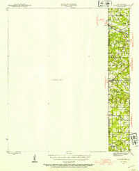
1943 Map of Waskom
USGS Topo · Published 1954About this map
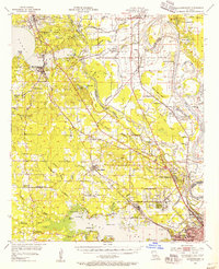
The Texas Louisiana state line defines the character of this 1943 survey, where a narrow corridor of human activity meets a large Unsurveyed Area to the west. The settlement of Waskom and the nearby community of Lorraine serve as transit points along the Texas and Pacific railroad, which cuts through the northern section of the map. This era shows a landscape densely populated with small rural institutions, including numerous schools like Pleasant Hill Sch and Spring Hill Sch, and several community burial grounds such as Forest Park Cem.
Find a feature on this map
26 named features on this map. Tap any name to fly to it.
Don’t see what you’re looking for? This feature index may not catch every label — zoom into the map to look around manually.
Map Details
Editions of this 1943 Waskom Map
This is the sole edition of this map. No revisions or reprints were ever made.
Other maps of this area
1944 · Caddo Lake
USGS Topo · 1:62,500
1945 · Grand Cane
USGS Topo · 1:62,500
1945 · Waskom
USGS Topo · 1:62,500
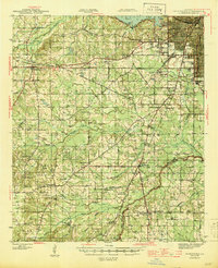
1945 · Greenwood
USGS Topo · 1:62,500
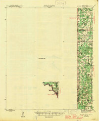
1945 · Socagee Bayou
USGS Topo · 1:62,500
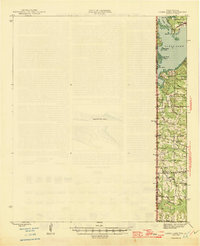
1946 · Caddo Lake
USGS Topo · 1:62,500
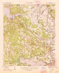
1948 · Mooringsport
USGS Topo · 1:62,500

1955 · Shreveport
USGS Topo · 1:250,000
1955 · Mooringsport
USGS Topo · 1:62,500
1955 · Greenwood
USGS Topo · 1:62,500