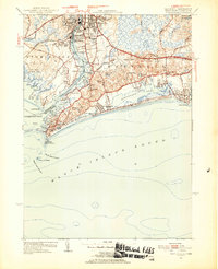
1953 Map of Watch Hill
USGS Topo · Published 1954About this map
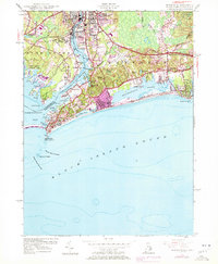
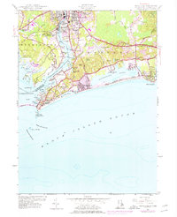
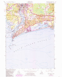
The Pawcatuck River serves as the primary dividing line between Pawcatuck and Westerly, marking the jagged coastal border between Connecticut and Rhode Island in the early 1950s. This survey highlights the region's diverse landscape, from the industrial character of the abandoned quarries and the New York New Haven and Hartford railroad corridor to the recreational shoreline at Watch Hill Pt. The map illustrates a well-developed coastal economy, featuring the Westerly State Airport, the Misquamicut Club Golf Course, and the prominent Watch Hill Lighthouse guarding the entrance to Little Narragansett Bay. Extensive marshes and lagoons like Winnapaug Pond and Wequetequock Pond dominate the southern edge, while inland features like River Bend Cem and the Woody Hill Reservation anchor the residential and natural landscape of Washington County.
Find a feature on this map
59 named features on this map. Tap any name to fly to it.
Don’t see what you’re looking for? This feature index may not catch every label — zoom into the map to look around manually.
Map Details
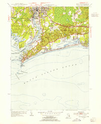
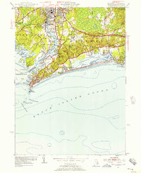
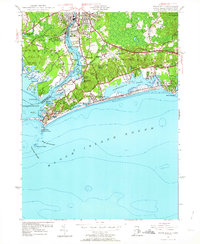
Editions of this 1953 Watch Hill Map
7 editions found
Other maps of this area

1889 · Stonington
USGS Topo · 1:62,500

1889 · Charlestown
USGS Topo · 1:62,500

1889 · Block Island
USGS Topo · 1:62,500

1893 · Stonington
USGS Topo · 1:62,500

1894 · Block Island
USGS Topo · 1:62,500

1899 · Block Island
USGS Topo · 1:62,500

1904 · Montauk
USGS Topo · 1:62,500

1919 · Charlestown
USGS Topo · 1:62,500

1921 · Charlestown
USGS Topo · 1:62,500

1921 · Stonington
USGS Topo · 1:62,500