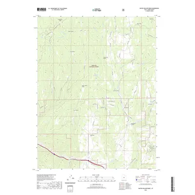
2020 Map of Water Hollow Ridge
USGS Topo · Published 2020About this map
Fishlake National Forest encompasses the high-altitude terrain of Sevier County, where a complex network of canyons and ridges defines the landscape. The geography is marked by significant drainages including Salina Creek and the W Fork Beaver Cr, which flow through steep depressions like Skutumpah Canyon and Corral Canyon. This 2020 survey reveals a land utilized for its natural resources and remote access, with a high density of named water sources such as Wikieup Spring, Wigwam Spring, and Pipe Springs.
Find a feature on this map
63 named features on this map. Tap any name to fly to it.
Don’t see what you’re looking for? This feature index may not catch every label — zoom into the map to look around manually.
Map Details
Editions of this 2020 Water Hollow Ridge Map
This is the sole edition of this map. No revisions or reprints were ever made.
Other maps of this area

1885 · Manti
USGS Topo · 1:250,000

1885 · Fish Lake
USGS Topo · 1:250,000

1895 · Manti
USGS Topo · 1:250,000

1896 · Fish Lake
USGS Topo · 1:250,000

1922 · Wasatch
USGS Topo · 1:31,680

1925 · Acord Lakes
USGS Topo · 1:62,500

1956 · Salina
USGS Topo · 1:250,000

1956 · Price
USGS Topo · 1:250,000

1960 · Price
USGS Topo · 1:250,000

1960 · Salina
USGS Topo · 1:250,000