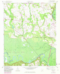
1953 Map of Wateree
USGS Topo · Published 1982About this map
Congaree Swamp National Monument dominates the southern landscape of this mid-century survey, where the Congaree River and Bates Old River carve winding paths through the wetlands. The mapping shows a deeply established rural community defined by its proximity to these watercourses and the Southern railroad line. Small settlements like Kingville and Wateree serve as nodes in a network of country churches and schools, such as Saint Lukes Church and the Cope Williams School.
Find a feature on this map
52 named features on this map. Tap any name to fly to it.
Don’t see what you’re looking for? This feature index may not catch every label — zoom into the map to look around manually.
Map Details
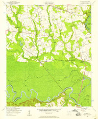
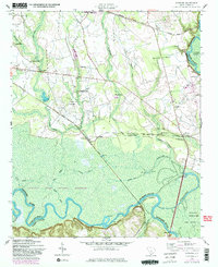
Editions of this 1953 Wateree Map
4 editions found
Other maps of this area

1943 · Eastover
USGS Topo · 1:62,500

1946 · Elloree
USGS Topo · 1:62,500

1946 · St. Matthews
USGS Topo · 1:62,500

1948 · Hopkins
USGS Topo · 1:62,500

1953 · Poinsett State Park
USGS Topo · 1:24,000

1953 · Eastover
USGS Topo · 1:24,000

1953 · Wedgefield
USGS Topo · 1:24,000
1953 · Congaree
USGS Topo · 1:24,000

1953 · Gadsden
USGS Topo · 1:24,000

1953 · Wateree
USGS Topo · 1:24,000