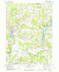
1967 Map of Waterford
USGS Topo · Published 1976About this map
Waterford and the glacial terrain of southern Erie County are captured here during a period of transition in the mid-1960s and 1970s. The landscape is defined by the convergence of Le Boeuf Creek and French Creek, where the waters of Le Boeuf Lake drain southward toward the Allegheny River watershed. This survey highlights a dense network of early transportation routes, where the Penn Central and Erie-Lackawanna railroads intersect the rural farm lanes of Waterford and Le Boeuf townships.
Find a feature on this map
70 named features on this map. Tap any name to fly to it.
Don’t see what you’re looking for? This feature index may not catch every label — zoom into the map to look around manually.
Map Details
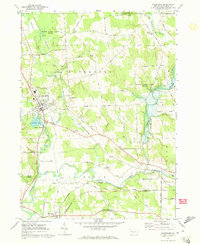
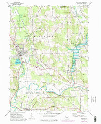
Editions of this 1967 Waterford Map
3 editions found
Other maps of this area

1899 · Erie
USGS Topo · 1:62,500

1900 · Erie
USGS Topo · 1:62,500

1913 · North East
USGS Topo · 1:62,500

1915 · North East
USGS Topo · 1:62,500

1923 · Cambridge Springs
USGS Topo · 1:62,500

1925 · Cambridge Springs
USGS Topo · 1:62,500

1929 · Union City
USGS Topo · 1:62,500

1932 · Union City
USGS Topo · 1:62,500

1943 · North East
USGS Topo · 1:62,500

1943 · Cambridge Springs
USGS Topo · 1:62,500