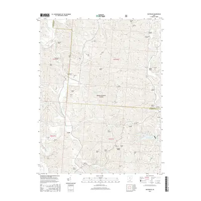
2016 Map of Waterloo
USGS Topo · Published 2016About this map
Symmes Creek winds through a deeply dissected landscape within the Wayne National Forest, shaping the settlement patterns of this corner of Lawrence County. The village of Waterloo serves as a central point, surrounded by a network of family-named ridges and hollows such as Jenkins Ridge and Peckerwood Hollow. The distribution of numerous small burial grounds, including the Webster Cem and Flag Spring Cem, suggests a long history of kinship-based upland farming communities that defined the area before much of it was consolidated into national forest land.
Find a feature on this map
67 named features on this map. Tap any name to fly to it.
Don’t see what you’re looking for? This feature index may not catch every label — zoom into the map to look around manually.
Map Details
Editions of this 2016 Waterloo Map
This is the sole edition of this map. No revisions or reprints were ever made.
Other maps of this area

1898 · Ironton
USGS Topo · 1:62,500

1900 · Ironton
USGS Topo · 1:62,500

1906 · Bidwell
USGS Topo · 1:62,500

1906 · Athalia
USGS Topo · 1:62,500

1908 · Bidwell
USGS Topo · 1:62,500

1908 · Athalia
USGS Topo · 1:62,500

1912 · Oak Hill
USGS Topo · 1:62,500

1957 · Huntington
USGS Topo · 1:250,000
1958 · Athalia
USGS Topo · 1:24,000

1960 · Huntington
USGS Topo · 1:250,000