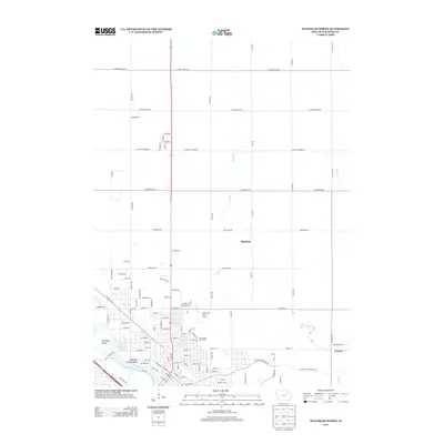
2013 Map of Waterloo North
USGS Topo · Published 2013About this map
The Cedar River carves through the southern landscape of this 2013 survey, defining a riverfront environment where San Souci Island and Robinson Crusoe Island emerge from the channel. The area shows a transition from the dense urban grid of northern Waterloo to the expansive agricultural sections further north. Public spaces like the Gates Park Golf Course and Red Carpet Golf Course occupy the transitional ground between the city and the farmland. To the northeast, the settlement of Armour sits near the winding course of Elk Run. The interior terrain is marked by distinctive features such as Big Rock and the drainage of Virden Cr, while an extensive road network including W Cedar Wapsi Rd and W Airline Hwy provides a framework for the region's modern layout and land use.
Find a feature on this map
89 named features on this map. Tap any name to fly to it.
Don’t see what you’re looking for? This feature index may not catch every label — zoom into the map to look around manually.
Map Details
Editions of this 2013 Waterloo North Map
This is the sole edition of this map. No revisions or reprints were ever made.
Other maps of this area

1954 · Waterloo
USGS Topo · 1:250,000

1955 · Waterloo
USGS Topo · 1:250,000

1963 · Waverly
USGS Topo · 1:24,000

1963 · Denver
USGS Topo · 1:24,000

1963 · Hudson
USGS Topo · 1:24,000

1963 · Waterloo South
USGS Topo · 1:24,000

1963 · Cedar Falls
USGS Topo · 1:24,000

1963 · Waterloo North
USGS Topo · 1:24,000

1971 · Readlyn
USGS Topo · 1:24,000

1971 · Gilbertville
USGS Topo · 1:24,000