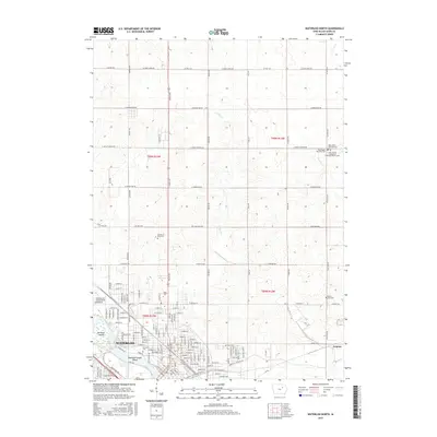
2015 Map of Waterloo North
USGS Topo · Published 2015About this map
The Cedar River flows through the southern reaches of this landscape, shaping the urban and industrial layout of Waterloo. This 2015 survey reveals a dense network of neighborhoods and institutional landmarks, including the campus of Allen Coll and several prominent burial grounds such as Fairview Cem and Garden of Memories. The river itself is punctuated by distinct landforms like San-Souci Island and Robinson Crusoe Island, which define the local riverfront character.
Find a feature on this map
53 named features on this map. Tap any name to fly to it.
Don’t see what you’re looking for? This feature index may not catch every label — zoom into the map to look around manually.
Map Details
Editions of this 2015 Waterloo North Map
This is the sole edition of this map. No revisions or reprints were ever made.
Other maps of this area

1954 · Waterloo
USGS Topo · 1:250,000

1955 · Waterloo
USGS Topo · 1:250,000

1963 · Waverly
USGS Topo · 1:24,000

1963 · Denver
USGS Topo · 1:24,000

1963 · Hudson
USGS Topo · 1:24,000

1963 · Waterloo South
USGS Topo · 1:24,000

1963 · Cedar Falls
USGS Topo · 1:24,000

1963 · Waterloo North
USGS Topo · 1:24,000

1971 · Readlyn
USGS Topo · 1:24,000

1971 · Gilbertville
USGS Topo · 1:24,000