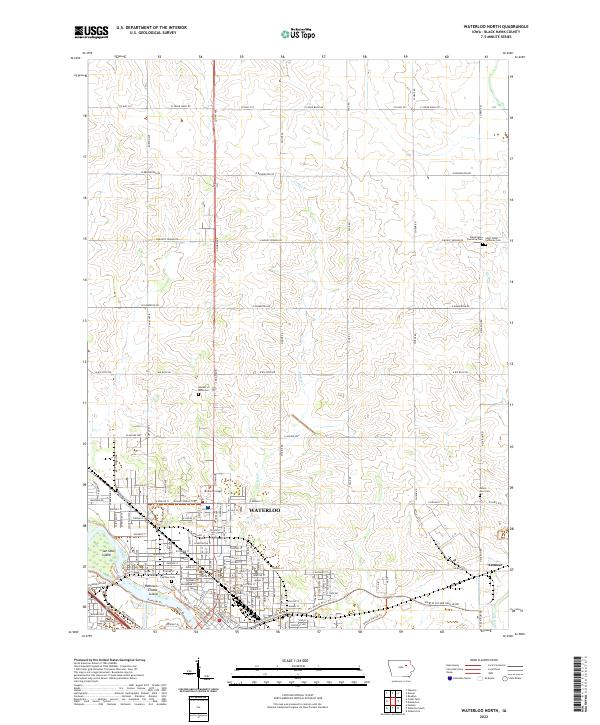
2022 Map of Waterloo North
USGS Topo · Published 2022About this map
The northern reaches of Waterloo and the surrounding agricultural townships of Black Hawk County are documented here, showing a landscape defined by the winding course of the Cedar River. The river's path is marked by distinctive features such as San Souci Island and Robinson Crusoe Island, while its tributaries, Virden Cr and Elk Run, carve through the rolling sections of the quadrangle. As the urban grid of Waterloo gives way to the section lines of the rural north, a complex network of recreation and transport emerges, featuring the Cedar Valley Lakes Trl and the Riverside Trl.
Find a feature on this map
43 named features on this map. Tap any name to fly to it.
Don’t see what you’re looking for? This feature index may not catch every label — zoom into the map to look around manually.
Map Details
Editions of this 2022 Waterloo North Map
This is the sole edition of this map. No revisions or reprints were ever made.
Historical Maps of Waterloo Through Time
8 maps found
1963 Buckingham
Black Hawk County, IA
1963 Eagle Center
Black Hawk County, IA
1963 Waterloo North
Black Hawk County, IA
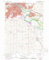
1963 Waterloo South
Black Hawk County, IA
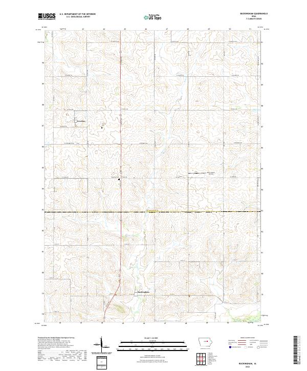
2022 Buckingham
Black Hawk County, IA
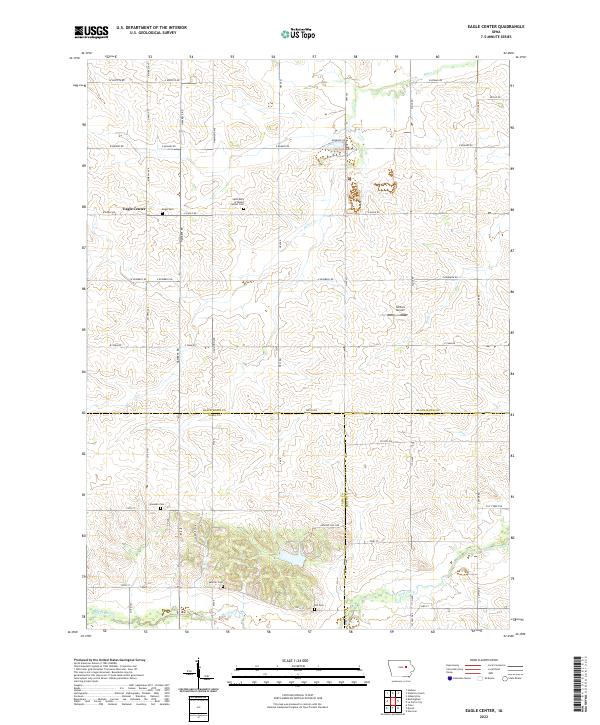
2022 Eagle Center
Black Hawk County, IA
2022 Waterloo North
Black Hawk County, IA
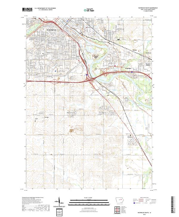
2022 Waterloo South
Black Hawk County, IA