
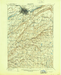
1909 Map of Watertown
USGS Topo · Published 1909About this map
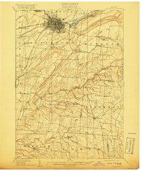
The Black River serves as the industrial and geographic anchor for this 1909 survey, winding through Watertown where the Carthage and Sacketts Harbor Line and the RW and O Division converge. The landscape is a network of small hamlets and rural post offices, including Tylerville South Rutland and Whitesville East Rodman, connected by the historic Sacketts Harbor Road.
Find a feature on this map
65 named features on this map. Tap any name to fly to it.
Don’t see what you’re looking for? This feature index may not catch every label — zoom into the map to look around manually.
Map Details
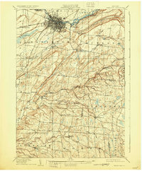
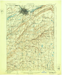
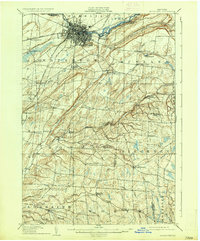
Editions of this 1909 Watertown Map
6 editions found
Other maps of this area

1893 · Sackets Harbor
USGS Topo · 1:62,500

1895 · Sacketts Harbor
USGS Topo · 1:62,500

1895 · Pulaski
USGS Topo · 1:62,500

1895 · Watertown
USGS Topo · 1:62,500

1898 · Watertown
USGS Topo · 1:62,500

1900 · Clayton
USGS Topo · 1:62,500

1902 · Carthage
USGS Topo · 1:62,500

1903 · Clayton
USGS Topo · 1:62,500

1903 · Theresa
USGS Topo · 1:62,500

1903 · Orwell
USGS Topo · 1:62,500