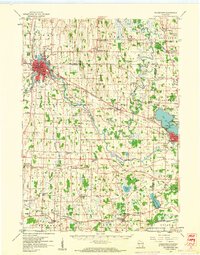
1959 Map of Watertown
USGS Topo · Published 1961About this map
The city of Watertown serves as the focal point of this mid-century survey, situated at the bend of the Rock River where the Chicago And North Western and Chicago Milwaukee ST Paul And Pacific railroads intersect. The surrounding landscape in Dodge and Jefferson Counties is characterized by a dense network of dairy-country infrastructure, including numerous rural education sites like the Valley Sch and Baker Town Sch, alongside many denominational cemeteries such as St Henry Cem and Moravian Cem. To the east, the Oconomowoc River flows through Ixonia toward Lac La Belle, while smaller settlements like Old Lebanon, New Ashippun, and Helenville anchor the surrounding townships. The abundance of Gravel Pits and Quarries throughout the region reflects the post-war demand for local building materials and road construction as the area's transportation network expanded.
Find a feature on this map
109 named features on this map. Tap any name to fly to it.
Don’t see what you’re looking for? This feature index may not catch every label — zoom into the map to look around manually.
Map Details
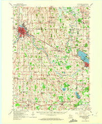
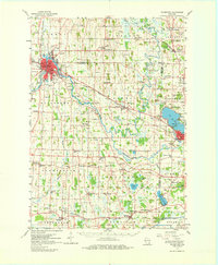
Editions of this 1959 Watertown Map
3 editions found
Other maps of this area

1891 · Waterloo
USGS Topo · 1:62,500

1891 · Koshkonong
USGS Topo · 1:62,500

1892 · Watertown
USGS Topo · 1:62,500

1892 · Oconomowoc
USGS Topo · 1:62,500

1892 · Whitewater
USGS Topo · 1:62,500

1892 · Eagle
USGS Topo · 1:62,500

1893 · Whitewater
USGS Topo · 1:62,500

1894 · Waterloo
USGS Topo · 1:62,500

1894 · Watertown
USGS Topo · 1:62,500

1894 · Eagle
USGS Topo · 1:62,500