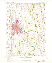
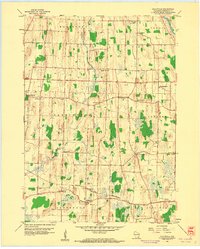
1959 Map of Watertown
USGS Topo · Published 1972About this map
The Rock River winds through the heart of Watertown, serving as a central geographic anchor for this 1950s landscape spanning Dodge and Jefferson Counties. The city's residential and industrial growth is clearly visible, with prominent educational institutions like Northwestern College and several parochial schools, including St Marks Sch and St Henry Cem, anchoring the local community. Significant infrastructure of the era is present, including the Chicago and North Western rail lines and the Watertown Airport south of the city center.
Find a feature on this map
44 named features on this map. Tap any name to fly to it.
Don’t see what you’re looking for? This feature index may not catch every label — zoom into the map to look around manually.
Map Details
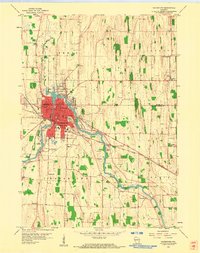
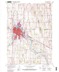
Editions of this 1959 Watertown Map
3 editions found
Other maps of this area

1891 · Waterloo
USGS Topo · 1:62,500

1892 · Watertown
USGS Topo · 1:62,500

1894 · Waterloo
USGS Topo · 1:62,500

1894 · Watertown
USGS Topo · 1:62,500

1910 · Waterloo
USGS Topo · 1:62,500

1955 · Beaver Dam
USGS Topo · 1:62,500

1955 · Horicon
USGS Topo · 1:62,500

1957 · Madison
USGS Topo · 1:250,000
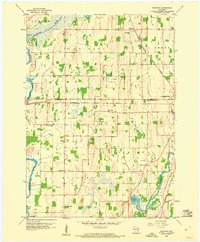
1959 · Richwood
USGS Topo · 1:24,000
1959 · Helenville
USGS Topo · 1:24,000