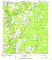
1954 Map of Watson
USGS Topo · Published 1955About this map
The Amite River meanders along the boundary of East Baton Rouge Parish and Livingston Parish, serving as the central geographic feature of this mid-century landscape. The area around Greenwell Springs stands out for its social and health infrastructure, notably the Greenwell Springs Sanitarium and nearby Camp Istrouma. To the west, an Indian Mound provides a link to much earlier inhabitants, while the settlement at Watson serves as a local hub.
Find a feature on this map
33 named features on this map. Tap any name to fly to it.
Don’t see what you’re looking for? This feature index may not catch every label — zoom into the map to look around manually.
Map Details
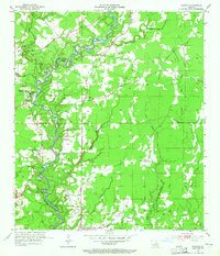
Editions of this 1954 Watson Map
2 editions found
Other maps of this area

1906 · Bayou Sara
USGS Topo · 1:125,000

1908 · Baton Rouge
USGS Topo · 1:62,500

1934 · Denham Springs
USGS Topo · 1:62,500

1939 · Zachary
USGS Topo · 1:62,500

1939 · Denham Springs
USGS Topo · 1:62,500

1939 · Baton Rouge
USGS Topo · 1:62,500

1942 · Pine Grove
USGS Topo · 1:31,680

1942 · Pride
USGS Topo · 1:31,680

1942 · Watson
USGS Topo · 1:31,680

1942 · Satsuma
USGS Topo · 1:31,680