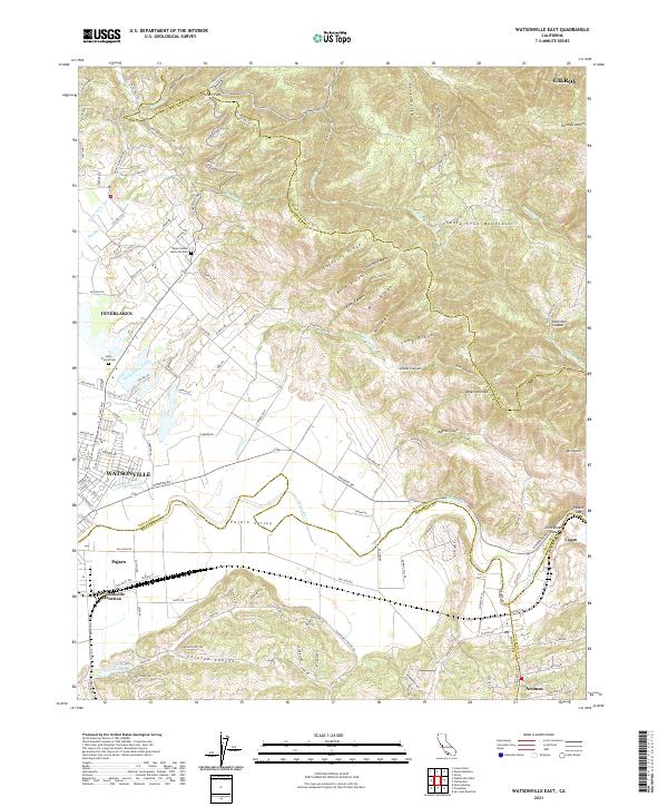
2021 Map of Watsonville East
USGS Topo · Published 2021About this map
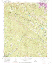
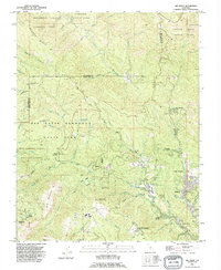
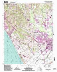
Pajaro Valley serves as the focal point of this 2021 study, where the coastal plains meet the southern reaches of the Santa Cruz Mountains. The landscape is defined by the winding course of the Pajaro River, which serves as a natural boundary between Santa Cruz, Monterey, and San Benito counties. To the north, the terrain rises sharply toward Hecker Pass and Atherton Peak, cut by numerous drainage systems like Mill Canyon and Casserly Cr.
Find a feature on this map
134 named features on this map. Tap any name to fly to it.
Don’t see what you’re looking for? This feature index may not catch every label — zoom into the map to look around manually.
Map Details
Editions of this 2021 Watsonville East Map
This is the sole edition of this map. No revisions or reprints were ever made.
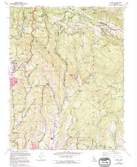
Historical Maps of Andres Estates Through Time
25 maps found
1954 Watsonville West
Santa Cruz County, CA
1955 Ano Nuevo
Santa Cruz County, CA
1955 Big Basin
Santa Cruz County, CA
1955 Castle Rock Ridge
Santa Cruz County, CA
1955 Laurel
Santa Cruz County, CA
1955 Loma Prieta
Santa Cruz County, CA
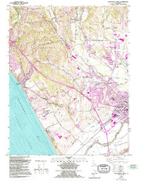
1955 Watsonville East
Santa Cruz County, CA
1991 Ano Nuevo
Santa Cruz County, CA
1991 Big Basin
Santa Cruz County, CA
1991 Castle Rock Ridge
Santa Cruz County, CA
1995 Watsonville East
Santa Cruz County, CA
1995 Watsonville West
Santa Cruz County, CA
1996 Laurel
Santa Cruz County, CA
1996 Loma Prieta
Santa Cruz County, CA
1997 Big Basin
Santa Cruz County, CA
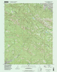
1997 Castle Rock Ridge
Santa Cruz County, CA
1997 Point Ano Nuevo
Santa Cruz County, CA
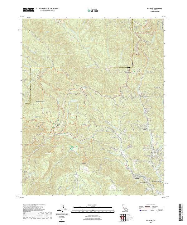
2021 Big Basin
Santa Cruz County, CA
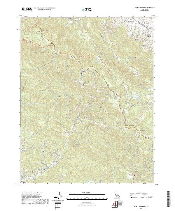
2021 Castle Rock Ridge
Santa Cruz County, CA
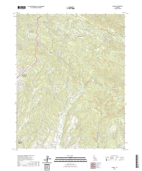
2021 Laurel
Santa Cruz County, CA
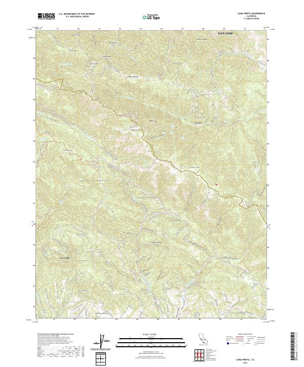
2021 Loma Prieta
Santa Cruz County, CA
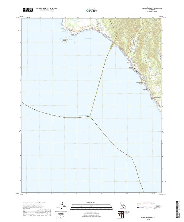
2021 Point Ano Nuevo
Santa Cruz County, CA
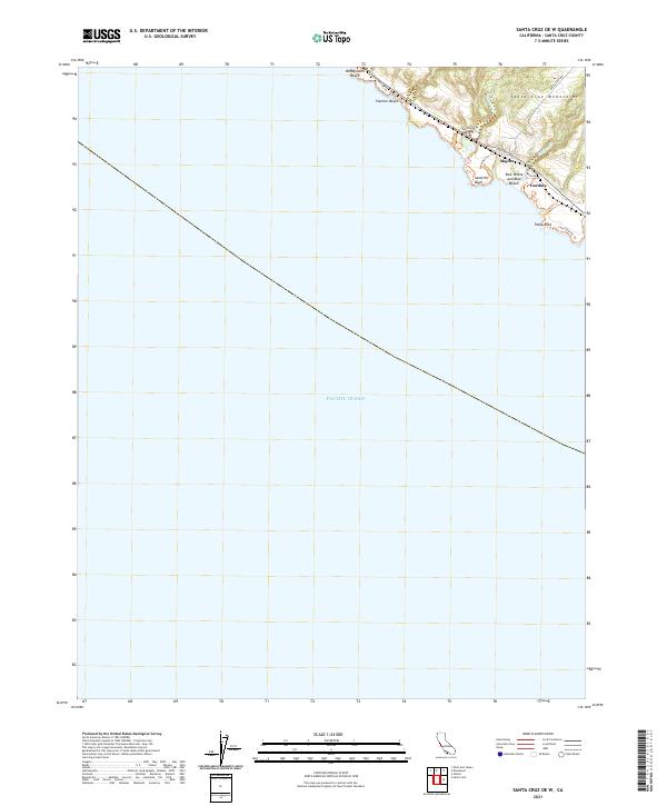
2021 Santa Cruz OE W
Santa Cruz County, CA
2021 Watsonville East
Santa Cruz County, CA

2021 Watsonville West
Santa Cruz County, CA