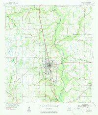
1955 Map of Wauchula
USGS Topo · Published 1983About this map
The Peace River meanders through this mid-century landscape of Hardee County, anchoring a region defined by agricultural rhythms and the infrastructure of the Atlantic Coast Line railroad. The hub of Wauchula shows a compact grid of streets, while smaller rail-side settlements like Torrey and Coker indicate the importance of the rail line for moving local produce. This era captures the transition of rural Florida into a more mobile society, evidenced by the Wauchula Municipal Landing Field and a Drive-in Theater situated north of town along the highway.
Find a feature on this map
26 named features on this map. Tap any name to fly to it.
Don’t see what you’re looking for? This feature index may not catch every label — zoom into the map to look around manually.
Map Details
Editions of this 1955 Wauchula Map
4 editions found
Other maps of this area

1955 · Ft. Green
USGS Topo · 1:24,000

1955 · Bowling Green
USGS Topo · 1:24,000

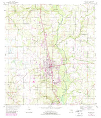
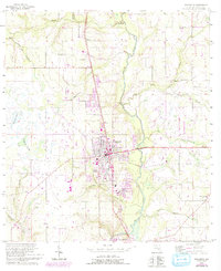
1955 · Wauchula
USGS Topo · 1:24,000

1955 · Baird
USGS Topo · 1:24,000

1956 · Ona
USGS Topo · 1:24,000

1956 · Bereah
USGS Topo · 1:24,000

1956 · Sweetwater
USGS Topo · 1:24,000

1956 · Zolfo Springs
USGS Topo · 1:24,000

1956 · Griffins Corner
USGS Topo · 1:24,000

1956 · Fort Pierce
USGS Topo · 1:250,000