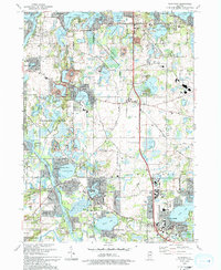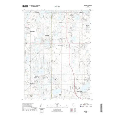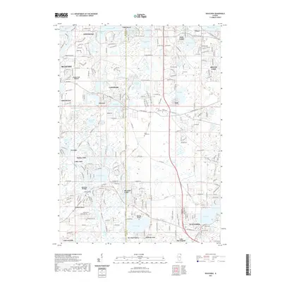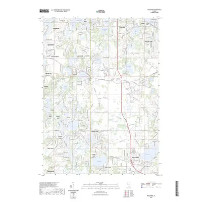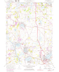
1960 Map of Wauconda
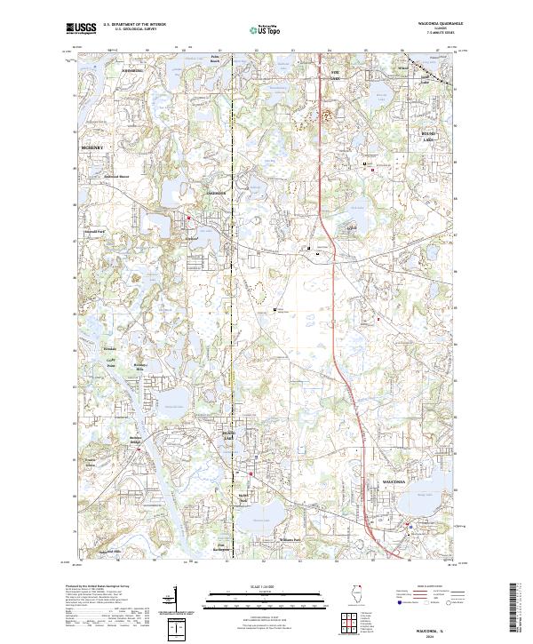
USGS Topo · Published 1979About this map
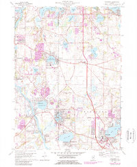
Wauconda sits at the heart of this Lake County landscape, surrounded by a complex network of glacial lakes including Bangs Lake, Slocum Lake, and Wooster Lake. The map reveals a transition into a suburban-recreational corridor during the mid-20th century, where residential developments like Island Lake and Lakemoor began to expand around established natural features. The presence of multiple organized camps, such as Camp Henry Horner and Camp Hickory, highlights the area's historical role as a regional getaway for those fleeing the city.
Find a feature on this map
72 named features on this map. Tap any name to fly to it.
Don’t see what you’re looking for? This feature index may not catch every label — zoom into the map to look around manually.
Map Details
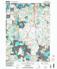
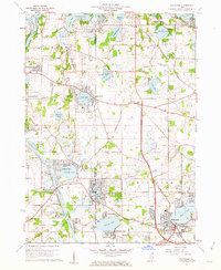
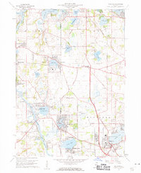
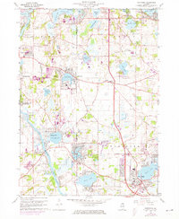
Editions of this 1960 Wauconda Map
5 editions found
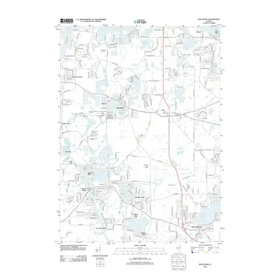
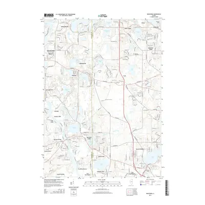
Historical Maps of McHenry Through Time
9 maps found