Loading...
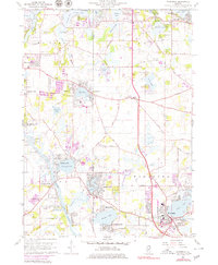
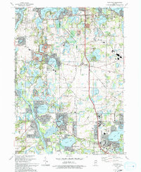
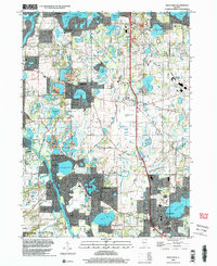
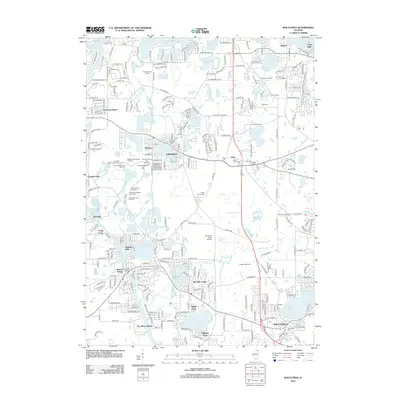
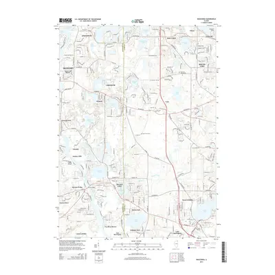
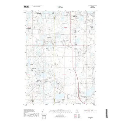
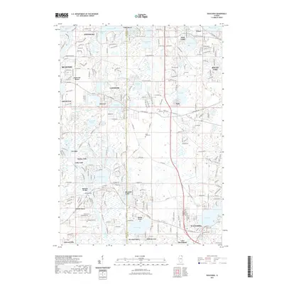
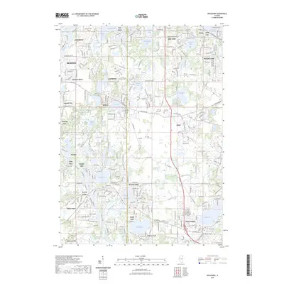
Loading map...1960 Map of Wauconda
USGS Topo · Published 1981About this map
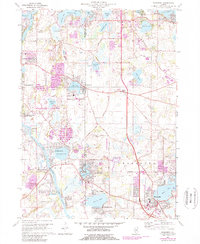
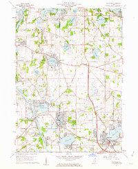
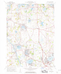
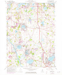
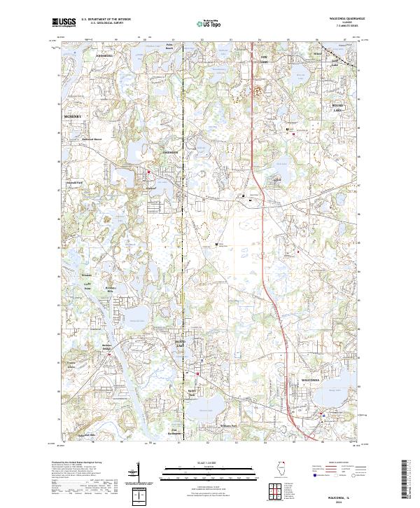
The Fox River and its associated chain of lakes define the landscape of this 1960 survey, later updated to reflect the suburban expansion of the 1970s. Residential clusters such as Eastwood Manor, Holiday Hills, and Lakemoor sit alongside well-established recreation sites, including Camp Henry Horner, Camp Duncan, and a Drive-in Theater. The map captures a moment when the rural character of northern Illinois was increasingly shaped by organized leisure and community growth around water bodies like Bangs Lake and Island Lake.
Find a feature on this map
66 named features on this map. Tap any name to fly to it.
Don’t see what you’re looking for? This feature index may not catch every label — zoom into the map to look around manually.
Map Details
Date Portrayed1960
Date Published1981
PublisherU.S. Geological Survey
Map TypeTopographic
Scale1:24,000
Physical Dimensions22 x 26.8 inches
Editions of this 1960 Wauconda Map
5 editions found
Historical Maps of McHenry Through Time
9 maps found
Featured Locations
Source Details
SourceU.S. Geological Survey
CopyrightPublic Domain